Weekend Newsfeed: Sun & frosts grow, showers clear as ‘mountain of high pressure’ moves in (10+ Maps)
6/07/2024 8:55am

> From the WeatherWatch archives
Frosts increase again Sunday and/or early this coming week as high pressure moves in and crosses NZ this coming week.
Check the free hyper-local frost, rain, wind, cloud/fog and temperature graphs in “Trends” in the left hand menu in our free app or over at RuralWeather.co.nz.
Most showers clear/ease back over Sunday and into Monday as high pressure moves closer to NZ.
The same high pressure zone (anticyclone) that affected NZ last week will cross the country this coming week – and when it does that the overnight temperatures will drop with frosts becoming heavier and more widespread once again.
The high central air pressure isn’t overly significant, although 1040 is still powerful, but the huge size of the anticyclone/high pressure zone makes it a ‘mountain of high pressure’ compared to other systems along the same west to east belt. It will weaken some as it moves into NZ.


- WeatherWatch.co.nz
Comments
Before you add a new comment, take note this story was published on 6 Jul 2024.
Latest Video
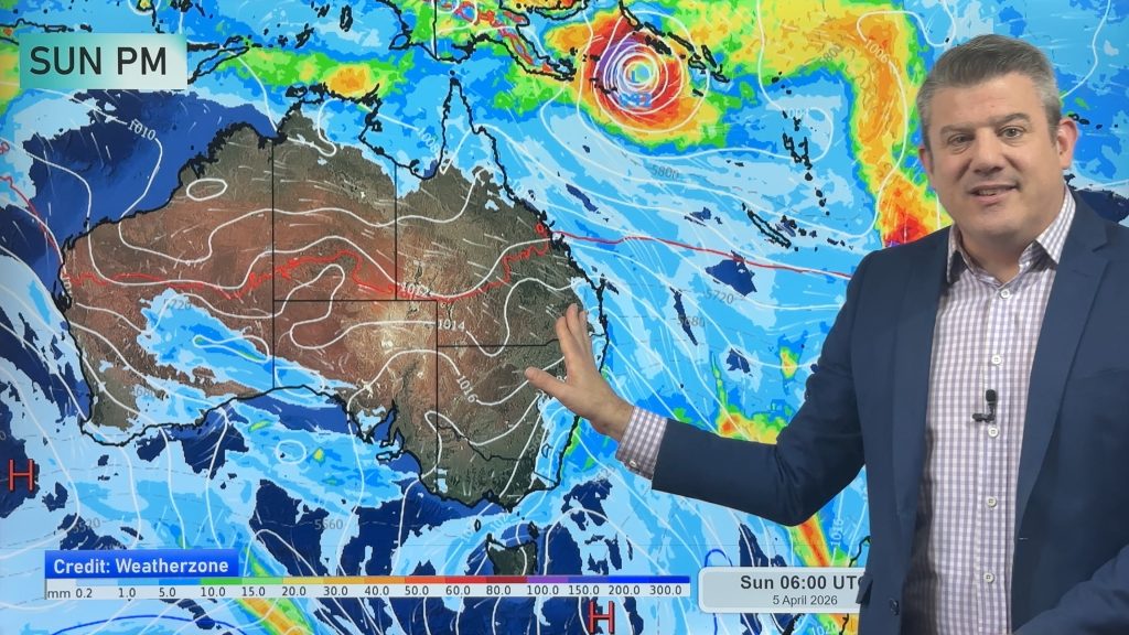
NZ: Easter weekend forecast + tropical cyclone monitoring for next week
High pressure is building for NZ this week but Easter Weekend may see some wet weather potential, especially in the…
Related Articles
NZ: Easter weekend forecast + tropical cyclone monitoring for next week
High pressure is building for NZ this week but Easter Weekend may see some wet weather potential, especially in the…

NZ 11-day forecast: Covering Easter weekend weather
This week looks to be mostly about high pressure and a few isolated showers/downpours. Easter Weekend may be similar –…

Update on severe weather around NZ as storm moves in + outlook for next week
Heavy rain and damaging wind gusts are forecast today, tonight and into Friday across parts of New Zealand as a…


Add new comment