Sunday Newsfeed: South-West airflow continues ahead of Monday’s high pressure
28/09/2024 10:00am

> From the WeatherWatch archives
On Sunday high pressure moves in closer to NZ, bringing a windier airflow to some parts of NZ. A few isolated showers do remain around Southland, the West Coast and can’t rule out an isolated shower along the North Island’s western coastline – otherwise dry.
By Monday high pressure rolls in over the country bringing colder/cooler nights and milder days with lighter winds right across New Zealand.
On Tuesday the high drifts east of the country with light winds in most places, and milder winds from the north.
By Wednesday the high likely moves away, northerly winds ramp up and low pressure may be behind it with some wet weather later in the week.

As always drill down deeper with your hyper-local, hourly, 10 day forecasts at WeatherWatch.co.nz – or download our Free WeatherWatch App.
Comments
Before you add a new comment, take note this story was published on 28 Sep 2024.
Latest Video
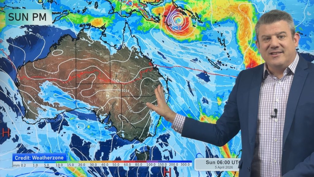
NZ: Easter weekend forecast + tropical cyclone monitoring for next week
High pressure is building for NZ this week but Easter Weekend may see some wet weather potential, especially in the…
Related Articles
NZ: Easter weekend forecast + tropical cyclone monitoring for next week
High pressure is building for NZ this week but Easter Weekend may see some wet weather potential, especially in the…

NZ 11-day forecast: Covering Easter weekend weather
This week looks to be mostly about high pressure and a few isolated showers/downpours. Easter Weekend may be similar –…

Update on severe weather around NZ as storm moves in + outlook for next week
Heavy rain and damaging wind gusts are forecast today, tonight and into Friday across parts of New Zealand as a…


Add new comment