Headlines: Warm in the east + Weather on Sunday
27/05/2023 7:00pm

> From the WeatherWatch archives
Here’s what is making the weather headlines this weekend….
WARM IN THE EAST
A northerly airflow means temperatures in the east are warm this weekend, highs will likely be in the late teens. The eastern North Island may even hit 20 degrees on Sunday.

WEATHER ON SUNDAY
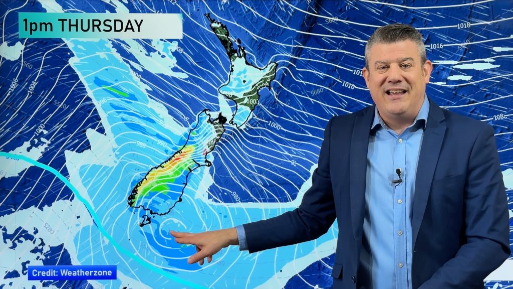
A north to northeasterly airflow lies over the country today, strengthening in the north. A front coming out from a low in the Tasman Sea moves onto the upper North Island from this morning then gradually spreads southeast.
North Island
Showers in the northeast (Northland through to East Cape), elsewhere expect sun and some high cloud. Rain moves into Northland this morning as a front moves in from the Tasman Sea, rain reaches Auckland this afternoon then Bay Of Plenty this evening. Eastern Northland through to Bay Of Plenty may see heavy rain as this front moves through, especially Bay Of Plenty overnight. Taranaki picks up on showers then some rain in the evening, a few spits or showers spread to other parts of the North Island overnight. Winds from the northeast, winds strong for the upper North Island, becoming strong along the east coast (Gisborne to Wairarapa) from evening.
South Island
Rain for the West Coast south of Greymouth but easing from afternoon, Nelson and Marlborough has a few showers, easing afternoon also. Later in the evening rain moves back in for all of the West Coast and top of the South Island with heavy falls for Tasman and Nelson. Dry and warm along the east coast with some high cloud and northerly winds, a few spots of rain possible overnight.

Comments
Before you add a new comment, take note this story was published on 27 May 2023.
Latest Video
VIDEO: Severe weather for NZ before Labour Weekend
Bursts of damaging gales are in the forecast for NZ this week ahead of some settled weather for Labour Weekend…
Related Articles
VIDEO: Severe weather for NZ before Labour Weekend
Bursts of damaging gales are in the forecast for NZ this week ahead of some settled weather for Labour Weekend…
VIDEO: NZ 10 Day + Labour Weekend sneak peek
Spring weather conditions carry on but some places will be hotter and drier over the week ahead, despite polar changes…
VIDEO: Gale westerlies off & on, we track them + the high pressure zones
*Programming Note: We have no video today Thursday (October 16), back Friday! [Video Recorded Wednesday]: Windier weather is coming back…


Add new comment