Wednesday’s weather headlines (x3): In comes the cold, Frost potential, Low early to mid next week
5/04/2022 7:00pm
> From the WeatherWatch archives
Here’s what is making the weather headlines today.
IN COMES THE COLD
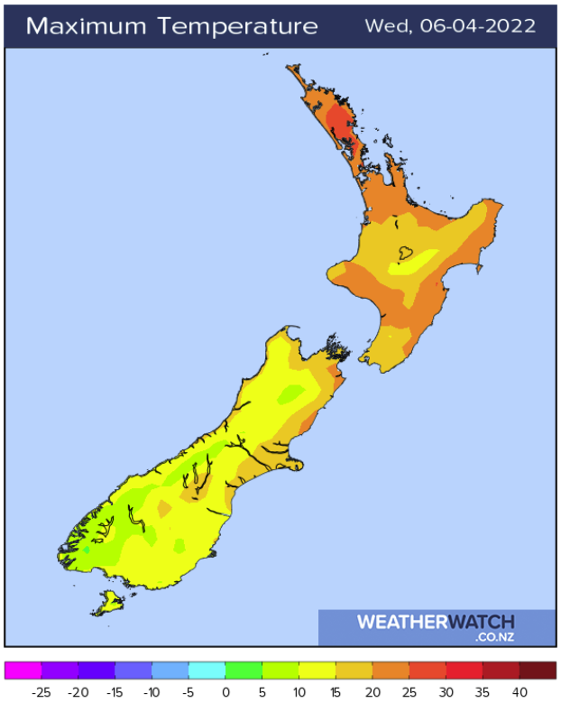
Yes a cold front pushes northwards over the South Island today and with it comes cold temperatures, rain in the west and south of the South Island eases and showers spread up the east coast. Rain arrives about the lower North Island this evening then showers spread up the east coast overnight.
There may be a few snow flurries about the lower South Island this evening and overnight to 700 or maybe 600m.
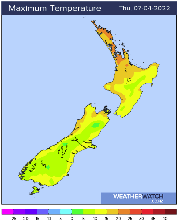
But, before the cold arrives, places like Napier and Gisborne actually see high’s ranging between 25 to 27 degrees today, not very cold at all! But patience, your time comes on Thursday with temperatures not getting out of the high teens.

FROST RISK UPDATE
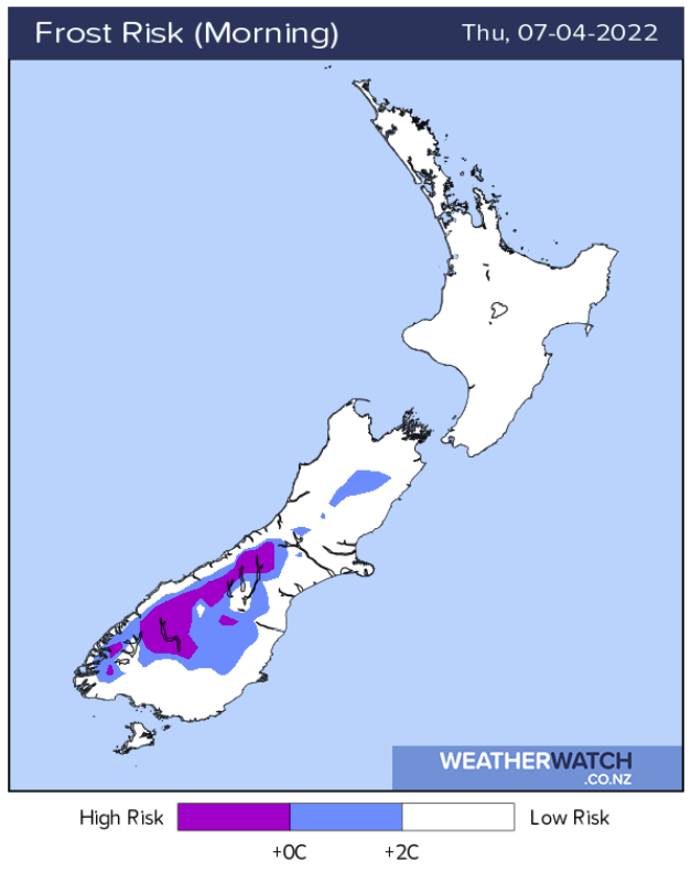
Thursday morning still holds the chance of a frost about inland parts of the South Island, mainly the lakes district (Queenstown and Wanaka) up though the Alps into the Mackenzie Country. It is not as high looking as yesterday as cloud is looking to be a little slower in clearing now, but still, temperatures between -1 to 1 degrees are possible around dawn for the above areas on Thursday morning.
Friday and Saturday mornings hold a chance about inland parts of both Island also, not a high risk but perhaps around 0 degrees at dawn in sheltered spots. More here.
LOW APPROACHES FROM THE NORTH EARLY TO MID NEXT WEEK
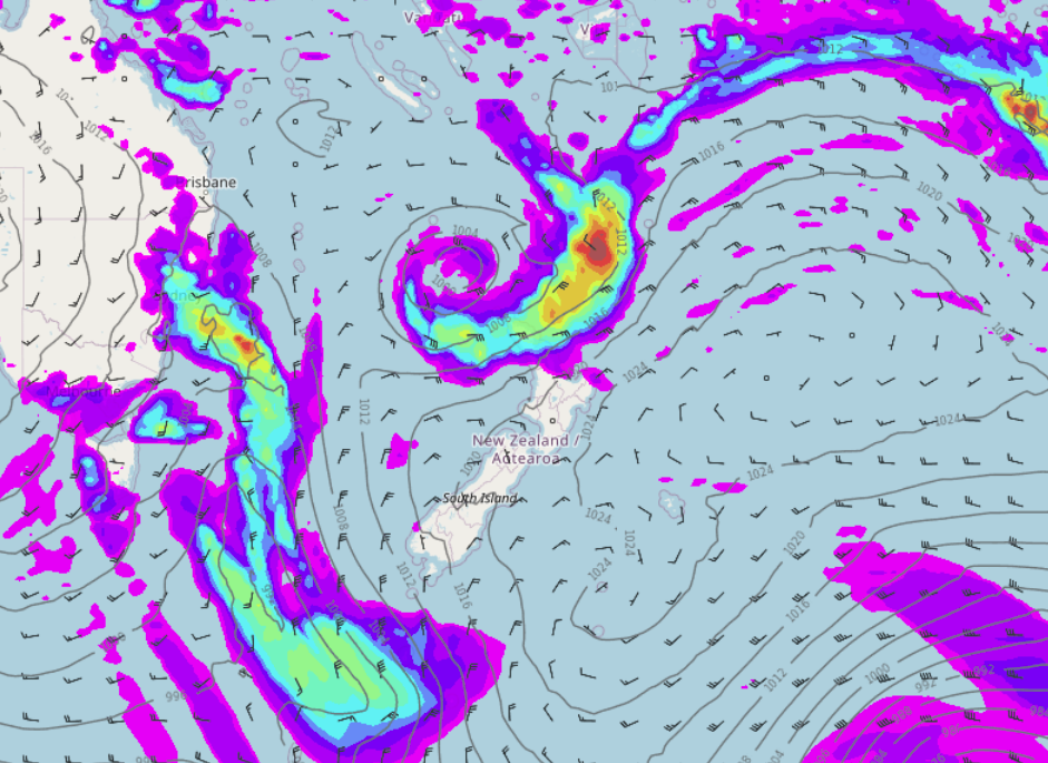
A low which will be EX Tropical Cyclone FILI moves down towards the upper North Island early to mid next week. It is still up for debate as to how much this low will affect us as the models are jumping around a bit as to where it will move exactly and how intense it will be but we will know more in time.
The map below is for next week on Tuesday at midday.
Comments
Before you add a new comment, take note this story was published on 5 Apr 2022.


Add new comment
Peter Thomas Langer on 5/04/2022 7:55pm
let hope so as this last low gave nothing it would be justice if that was correct
Reply