
> From the WeatherWatch archives
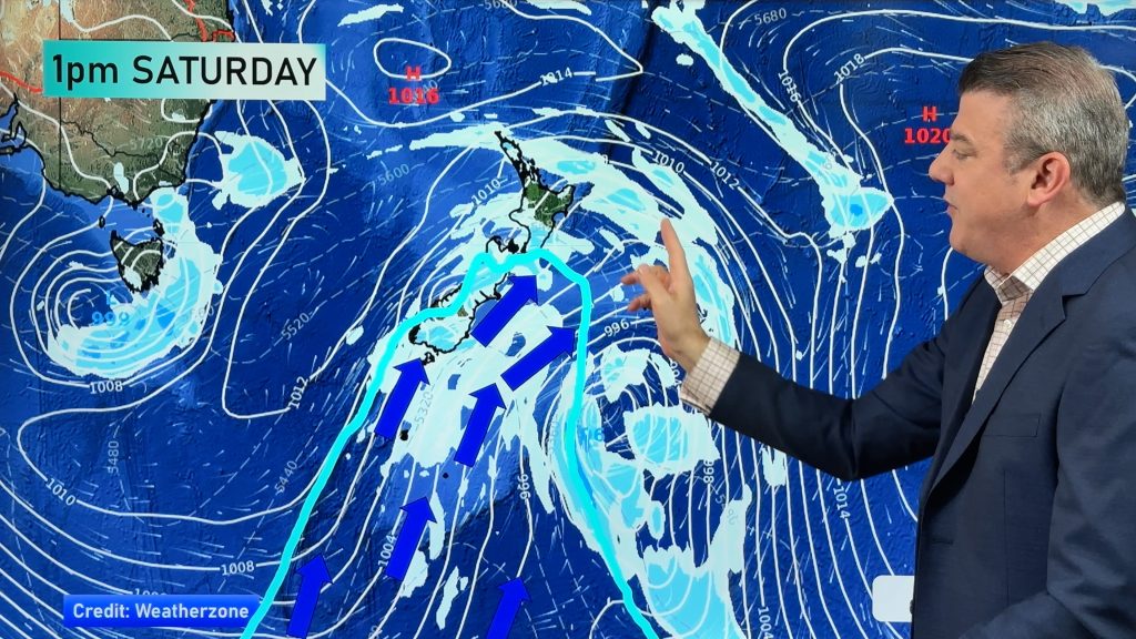
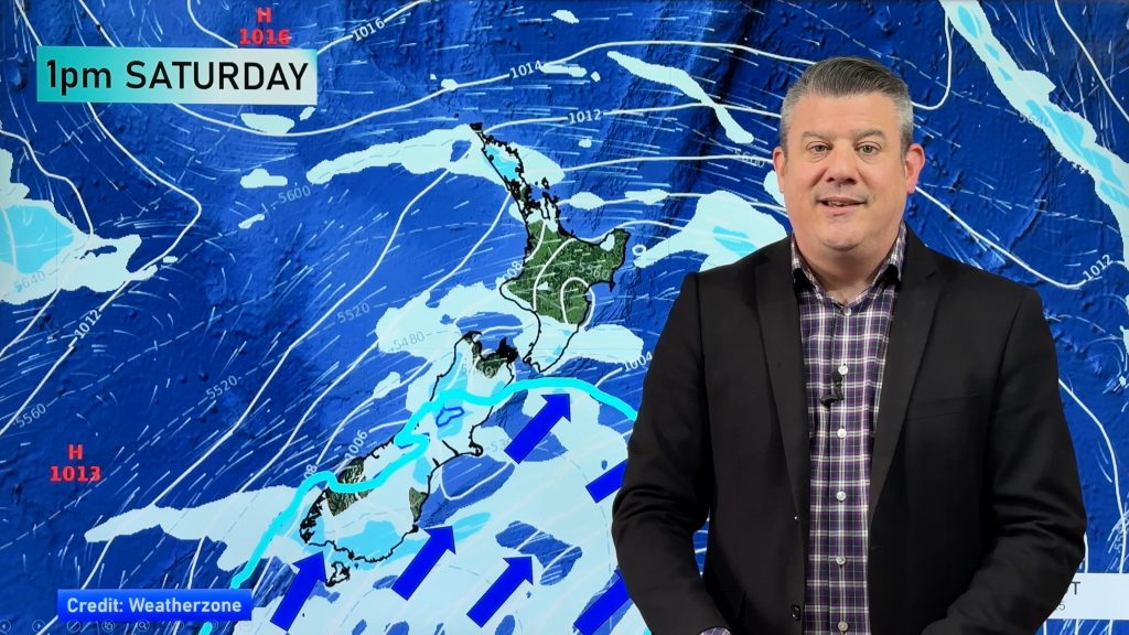
High pressure to the north of New Zealand and a front moving in from the south brings a gusty northwesterly airflow over the country today. This front moves onto the lower South Island early afternoon arriving at the lower North Island overnight.
Northland, Auckland, Waikato & Bay Of Plenty
A mostly cloudy morning, perhaps the chance of a light shower then some sun breaks through in the afternoon, especially the further east you go. Any morning cloud breaks away for the Bay Of Plenty then becoming sunny. West to southwesterly winds, perhaps breezy at times in the afternoon.
Highs: 24-27
Western North Island (including Central North Island)
Mostly cloudy, the odd shower possible, some overnight rain. West to northwesterly winds.
Highs: 22-24
Eastern North Island
Sunny with northwesterly winds, afternoon east to northeast breezes may develop about coastal Hawkes Bay / Gisborne.
Highs: 26-31
Wellington
Mostly sunny, cloud thickens in the evening with the odd light shower possible. Brisk to strong northwesterly winds.
High: 23
Marlborough & Nelson
Mostly sunny, may be an evening shower mainly about Nelson. Gusty afternoon northwesterly winds.
Highs: 26-30
Canterbury
Mostly sunny with gusty northwesterly winds, a strong evening southwest change brings rain then clearing overnight.
Highs: 26-30
West Coast
Rain, becoming heavy in the afternoon then easing during the evening as northwesterlies change fresh southwest. Showers clear overnight.
Highs: 19-23
Southland & Otago
Some sun then early afternoon a gusty southwest change (strong about the coast) moves into Southland bringing rain, moving into Otago mid to late afternoon. Rain easing to showers in the evening.
Highs: 17-27
By Weather Analyst Aaron Wilkinson – WeatherWatch.co.nz
Comments
Before you add a new comment, take note this story was published on 22 Jan 2019.
Latest Video
Another cold blast this weekend + Christmas Day weather
As we’ve been saying for several weeks now, we have a spring-like pattern going through December, but with summer-like temperatures….
Related Articles
Wintry change for some, windy and warm for others
A cold snap is moving up NZ today and Saturday, before easing Sunday and clearing most places on Monday –…
Another cold blast this weekend + Christmas Day weather
As we’ve been saying for several weeks now, we have a spring-like pattern going through December, but with summer-like temperatures….

Spring-like until Christmas (NZ’s 11 Day forecast!)
Severe gales, heavy West Coast rain, and temperature fluctuations are on the way as spring weather returns following a much…


Add new comment