Wednesday Newsfeed: Slight lull today ahead of next westerly surge on Thursday (+3 Maps)
27/08/2024 4:00pm

> From the WeatherWatch archives
Windy and wet weather is continuing around some parts of the North Island today but is easing in most parts of NZ … for now anyway, as those windy conditions surge back in again tonight or overnight in the south, then more nationwide tomorrow/Thursday.
Keep up to date with:
- WeatherWatch Alerting App
- MetService watches and warnings
- All your local alerts at Lert Info.
Let’s get into the forecast for Wednesday…
RAIN:
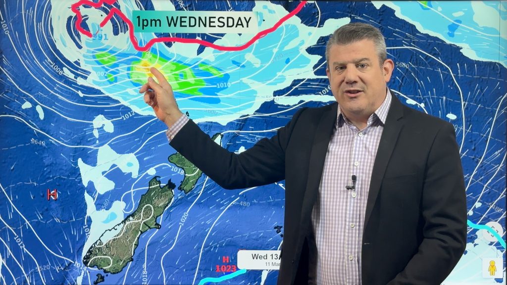
Rain and showers gradually clear across the north Island today with most places dry by the end of the day, however at the other end of New Zealand rain returns to Fiordland and Southland tonight. Track on radar and use our hourly data if wet weather matters to you.
WIND:
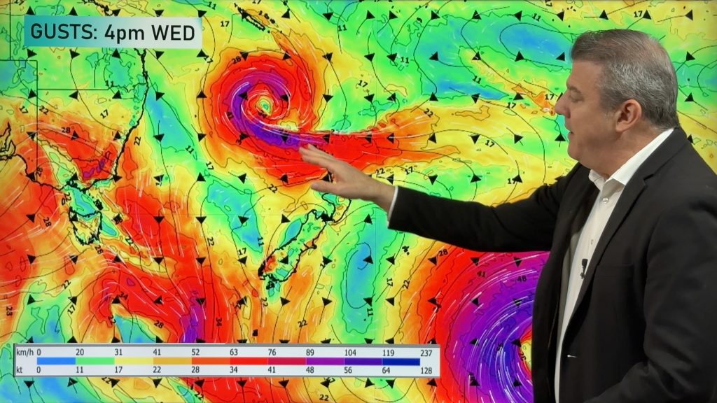
The Westerly wind flow carries on across the country today and some areas will still be a little bit gusty but otherwise the winds are too bad. However at the lower end of New Zealand those North-Westerly or Westerly winds will pick up later today with severe gales possible in parts of New Zealand overnight and Thursday.
TEMPERATURES:
Temperatures (and a particular overnight temperatures) continue to be above normal for most parts of the country however the cold front arriving tomorrow Thursday will see a temperature change for those of you in the South Island and maybe a bit of snow returning to the mountains and ranges again. South Westland, Southland and Otago still have more cold air in the mix than most other regions.
NEXT WEEK AHEAD:
For the next week or so ahead we are very much caught up into this Westerly flow. At times that means some parts of the country are going to be warmer than average – in particular the north Island and eastern sides of both main islands, however there are going to be cold surges too from south of New Zealand and that means parts of the lower south Island will have injections of coldest air: for example in Queenstown itself it is possible that it might snow for a time in the next week as another colder change comes through, but generally speaking for the next several days most main centres are leaning warmer than average especially at night time and especially for those of you in the north and the east.
Meanwhile rain will continue to be heavy at times for the West Coast with potentially up to 500 mm also for some areas between now and the next 15 days.


As always drill down deeper with your hyper-local, hourly, 10 day forecasts at WeatherWatch.co.nz – or download our app.
Comments
Before you add a new comment, take note this story was published on 27 Aug 2024.


Add new comment