Wednesday Newsfeed: Hi to the high today, bye to the high Thursday as next cold front arrives!
24/09/2024 4:00pm

> From the WeatherWatch archives
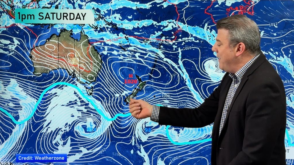
High pressure rolls in across NZ today bringing a settled day to almost every region. What a nice change! But in spring style, it will be short lived – with a big cold front moving into the South Island on Thursday, then the North Island on Friday as it weakens further. This weekend high pressure returns – just in time to kick off the next school holidays.
Let’s get into the forecast for Wednesday to begin with…
RAIN:
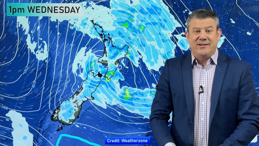
Rain-wise it’s a dry or mainly dry day nationwide. A few showers look to brush northern Hawke’s Bay, Mahia, Gisborne area but mostly dry there. Also a few light showers are possible along West Coast from off the Tasman Sea – but again, mainly dry there too.
WIND:
Winds are lighter today but still a west to south-west breeze in some locations, like Auckland and the lower South Island. In fact nor-westers ahead of the cold front will pick up over the lower South Island.
TEMPERATURES:
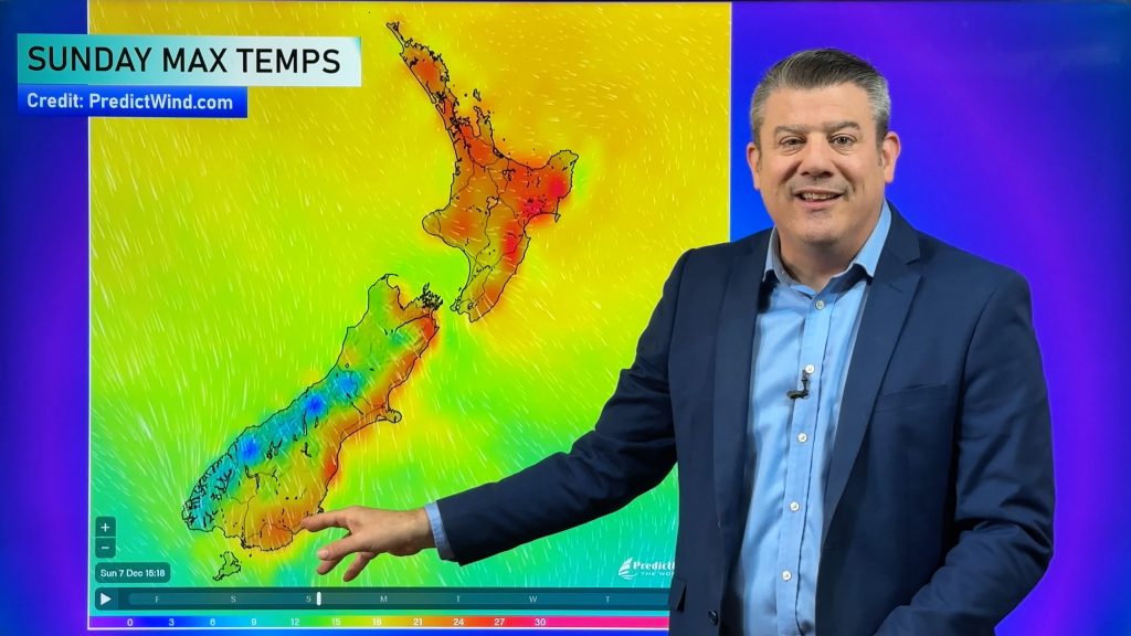
Those winds in the lower South Island will lift temperatures up from where they were yesterday/Tuesday. Elsewhere temperatures creep up a notch from where they were also, but temps today are fairly average to slightly above average.
NEXT 4 DAYS AHEAD:
Thursday has a cold front moving up the South Island bringing a burst of heavy rain to the west and south-west – and some spillover into Southland and Otago (and the hydro dams). Strong to severe gale nor-westers move into the upper South Island and lower half of the North Island with milder weather there. Dry for many places in the North Island until that front arrives later in the day – or overnight.
On Friday that front moves over the North Island with a colder change behind it – and that front weakens and falls apart further going into Saturday.
By Sunday high pressure is again returning to NZ from the Tasman Sea, bringing a dry start to the week in most, if not all, regions.


As always drill down deeper with your hyper-local, hourly, 10 day forecasts at WeatherWatch.co.nz – or download our Free WeatherWatch App.
Comments
Before you add a new comment, take note this story was published on 24 Sep 2024.


Add new comment