Wednesday Newsfeed: Big high rolls in, but rolls out by Friday with subtropical winds (+6 Maps)
13/08/2024 8:32pm

> From the WeatherWatch archives
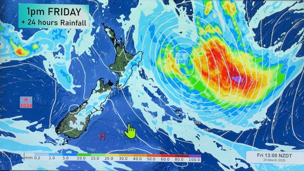
The Big Picture weatherwise is that a large and strong high pressure zone is today and Thursday crossing NZ. Behind it over the coming days we get a new low pressure zone forming in the Tasman Sea and that is likely to move in this coming weekend with some wet weather.
Let’s get into Wednesday’s forecast …
RAIN:
It’s a dry day right across New Zealand thanks to this strong high pressure zone. The only region that is exposed to a few showers is Fiordland, our rain forest.
WIND:
Winds on Wednesday won’t be much of a feature either with light winds almost everywhere although a brisk northerly at times in Wellington and also a breezy westerly blowing past Bluff and some parts of Southland.
TEMPERATURES:
It’s a frosty start this morning with frosts potentially as far north as Auckland through inland areas of both main islands, but a fairly mild afternoon is on the way with a number of places leaning warmer than average by this afternoon. Note that warmer than average doesn’t always mean it feels warm for you.
NEXT 5 DAYS:
This big high pressure zone moves off to our north-east on Friday and Saturday and this helps dredge down mild sub-tropical air from around Fiji and Tonga. This means overnight lows will also be going up and the risks for frosts all but disappears nationwide by Friday.
By Friday night and going into Saturday low pressure from the Tasman Sea will move into the western North Island and maybe the upper South Island too, bringing some mild rain. The weekend forecast is a bit messy from a rain point of view though – as this next low is borderline, but also tapping into subtropical air – in other words it’s unpredictable but we should be able to lock it in with more tomorrow. It’s possible a wintry southerly will roar back up NZ next Monday – again, not yet locked in but showing up in some computer modelling.


As always drill down deeper with your hyper-local, hourly, 10 day forecast at WeatherWatch.co.nz or download our app.
Comments
Before you add a new comment, take note this story was published on 13 Aug 2024.


Add new comment