Weather headlines (x3) this weekend: Cold for Twizel, One settled day, Warm in the east next week
3/06/2022 7:00pm

> From the WeatherWatch archives
Here’s what is making the weather headlines this Weekend.
COLDEST ABOUT TWIZEL
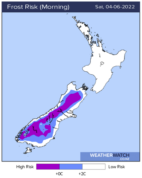
Last Saturday morning we talked about how Twizel was the coldest spot the night before, well this Saturday morning it is the coldest spot around the country again! Last night would have got down to about -3 for Twizel, certainly very chilly. The frost map below shows that most places about the Southern Alps would have been very cold.

ONE SETTLED DAY, THAT’S ALL ONE SHALL RECEIVE
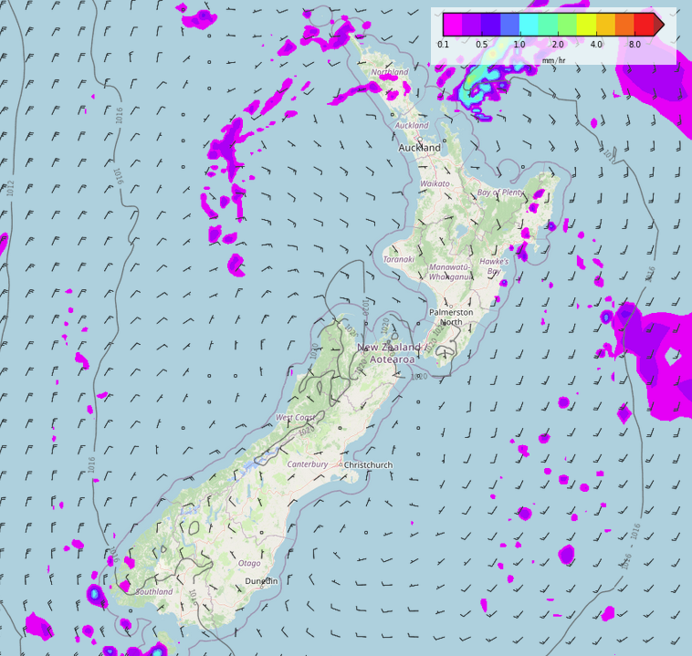
Today an anticyclone covers New Zealand bringing settled weather. Sunny for the South Island although Buller may have some cloud and a shower or two. For the North Island a few showers in the east gradually clear away, the odd shower lingers for the upper North Island (Auckland northwards) for much of the day. Showers may become a little more persistent for Coromandel and Auckland overnight thanks to a trough. Tomorrow we see an increasing north to northeasterly airflow, showers in the west, turning to rain in the afternoon for the West Coast.
Most of next week is looking unsettled thanks to a westerly airflow, the plus side is eastern regions may be fairly dry with reasonably warm temperatures.

WARM IN THE EAST NEXT WEEK
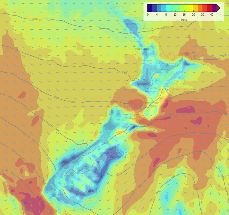
As alluded to above, eastern regions for much of next week look to have temperatures in the mid to late teens. This is due to a westerly quarter airflow lying over the country, naturally eastern regions tend to be a bit warmer than in the west in such circumstances.
Friday or Saturday we start to cool down as the airflow tends more southwest.

Comments
Before you add a new comment, take note this story was published on 3 Jun 2022.


Add new comment