Headlines (x2): Weather for Sunday, 400mm to 500mm forecast for Nelson & West Coast this week, slips/flooding likely.
13/08/2022 10:21pm

> From the WeatherWatch archives
Here’s what is making the weather headlines today.
WEATHER ON SUNDAY
Expect mostly sunny weather across New Zealand after a frosty start to the day for inland areas, winds are fairly light.
The West Coast does see partly cloudy skies though with the risk of a drizzle patch about Fiordland, also a little bit of cloud for Northland, Kapiti and Wellington. Then finally, a touch of high cloud will start drifting in from the Tasman Sea ahead of a front well to our west.

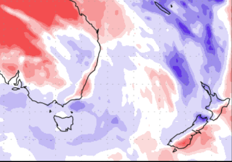
Map shows: Minimum Temperature (°c) in the morning of the day shown. 
MSLP / Rain map – Sunday 3:00pm
TUESDAY THIS COMING WEEK ONWARDS – UNSETTLED
Hopefully you make use of the settled weather this weekend because this coming week, from about Tuesday, the weather looks to go downhill again. Heavy rain for the West Coast and top of the South Island on Tuesday, more heavy rain top of the South Island on Wednesday and getting into the far north too.
Thursday sees a low start to wind up in the Tasman Sea with heavy rain moving into the upper North Island then spreading into the eastern South Island on Friday.
Thursday and Friday could see more snow for the South Island ranges, something to keep an eye on. No doubt the exact details will change between now and then but overall, more unsettled weather is on the way.
Please follow these maps here for upcoming weather.
Note the precipitation percentage of normal map below, this goes from today through to the 19th August. The top of the South Island in particular shows dark blue colouring which means more rain then normal is forecast for that area coming up, something to keep an eye on in terms of potential flooding.
Nelson and parts of the West Coast are forecast to receive over 400 to 500mm of rain this week – easily enough to cause problems, especially in the Nelson/Tasman region which doesn’t take a lot to flood anyway.

- By Aaron Wilkinson, WeatherWatch.co.nz
Comments
Before you add a new comment, take note this story was published on 13 Aug 2022.


Add new comment