Weather headlines (x3) for Wednesday: Rain at either end today, Thunderstorms about to move in, Rain outlook
17/05/2022 7:00pm

> From the WeatherWatch archives
Here’s what is making the weather headlines today.
RAIN AT EITHER END OF THE COUNTRY TODAY
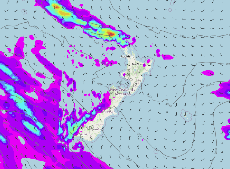
We have some rain for Northland today and Fiordland at the other end, this rain may be heavy too especially about Fiordland from this evening. The West Coast does have showers south of Greymouth but elsewhere around New Zealand has a pretty good day, mainly dry, some rain or showers about the upper North Island clears this morning.
Eastern regions have the sunniest weather today, reasonably warm too.

THUNDERSTORMS TO HEAD IN THURSDAY / FRIDAY
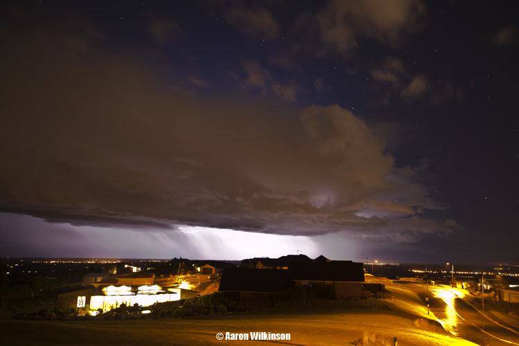
As a cold front pushes northwards over the South Island during Thursday we can expect thunderstorms for the West Coast, the southwestern corner of the North Island may see thunderstorms in the evening (Taranaki through to Kapiti) as this front moves in there.
Another burst of heavy rain / showers moves in overnight bringing further thunderstorms for the West Coast, this time with a risk of hail, these heavy showers then move into the lower North Island from Friday afternoon. While not a high risk there could even be a rumble with some small hail up the east coast of the South Island during Friday too, if not any thunder it will definitely become wet and cold in any case.
Plenty of action weather coming up, keep your eyes on Metservice’s thunderstorm outlook page here.

PRECIPITATION OUTLOOK
The western side of New Zealand is looking a bit wetter than normal through to Wednesday 25th May as in the image below. Eastern regions are either average or perhaps a bit drier than normal looking.
We need rain for the western North Island anyway especially Waikato northwards so anything wetter than normal in that regard will help there.

Comments
Before you add a new comment, take note this story was published on 17 May 2022.


Add new comment