Weather headlines (x3) for Tuesday: Tame weather coming up, Fog and frosts possible
25/04/2022 7:00pm

> From the WeatherWatch archives
Here’s what is making the weather headlines today.
WEATHER COMING UP IS FAIRLY TAME
The weather for at least the next 10 days out is looking rather tame, we have some cloud at times for particular regions and a few showers thanks to weakening fronts moving over the country but overall the weather is looking rather sedate thanks to plenty of high pressure hanging around.
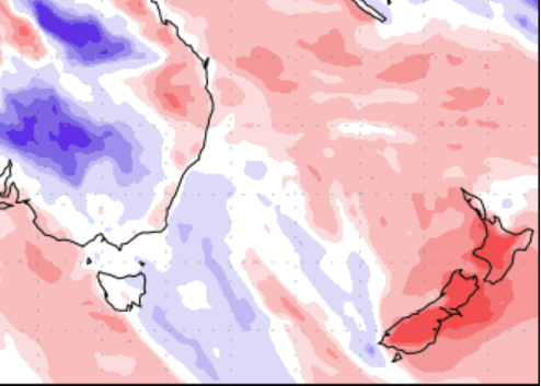
The precipitation percentage of normal map through to the 3rd May below tells the story with mainly dry weather in store. North of Gisborne in the east, Coromandel and eastern Northland are the wettest looking places if anything over the next 7 days although these areas will only receive showers at times.
Red colours show drier weather coming up while blue represents wetter than normal weather, white is normal rainfall.

SOME FOG COMING UP
Due to a bit of high pressure hanging around there is a chance of fog for some areas, mainly inland away from coastal spots.
To keep an eye on fog possibilities go to ruralweather.co.nz and use the search function then click the “Fog/Cloud” tab to see the risk for your location.
Below is a graph for Gore showing the fog risk.

FROST RISK TOO
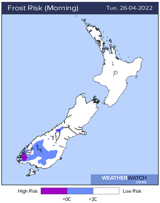
With high pressure there comes a chance of frosts also. There don’t look to be any heavy frosts coming up, more light frosts if anything. But still none the less there may be frosts about some inland spots over the coming nights / mornings.
Check out our frost risk maps here for more.

Comments
Before you add a new comment, take note this story was published on 25 Apr 2022.


Add new comment