VIDEO: Winter blast possible next week, but warmer before then
23/07/2024 1:14am

> From the WeatherWatch archives
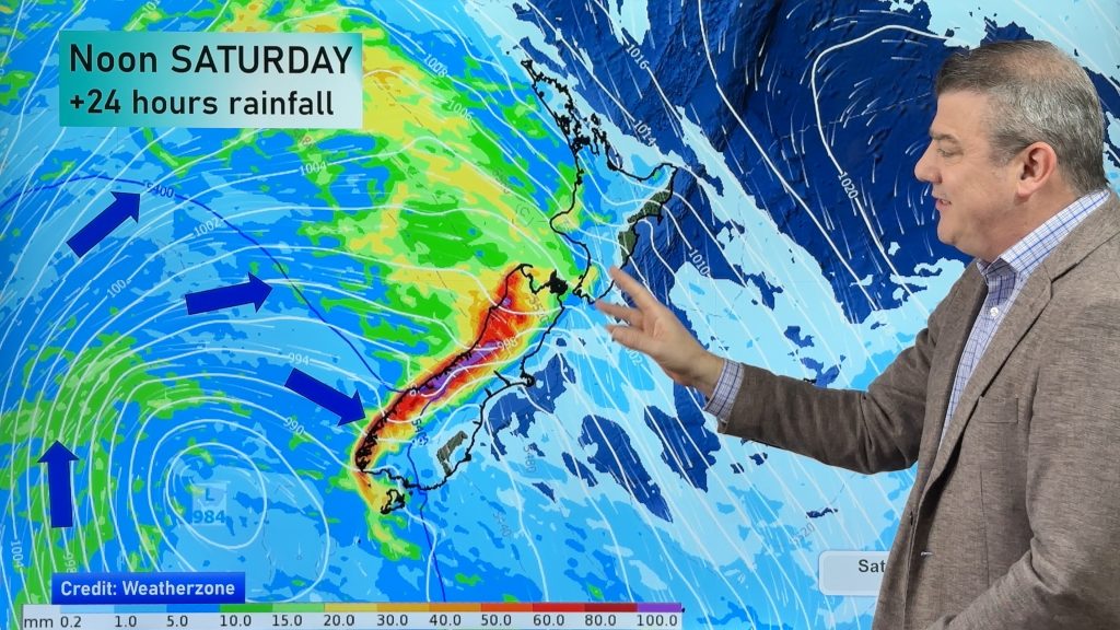
High pressure is on the way to NZ and temperatures are about to go up and well above normal (over 10 degrees above normal for some in the south of the South Island) as a warm nor’wester comes out of Australia.
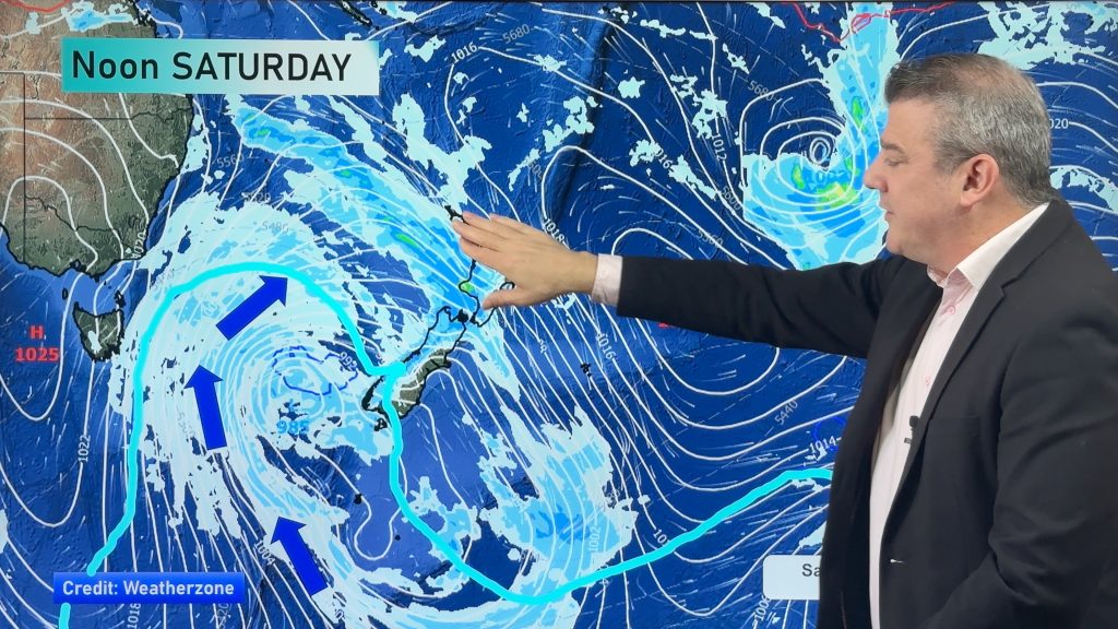
The nor’wester is fuelled by high pressure crossing northern NZ on Friday/Saturday and fades away over the weekend and by early next week. However, next week things turn colder – with a likely wintry blast on the way.
There are a number of moving parts so it’s too early to lock anything in yet, this is because the shape of the high pressure zone matters a lot …and one slight change can turn a snowy sou-easter into a windy, drier and milder, sou-wester. But, a polar blast is possible for NZ next week – so we’re tracking the modelling and will keep you up to date over the coming week.
Comments
Before you add a new comment, take note this story was published on 23 Jul 2024.


Add new comment