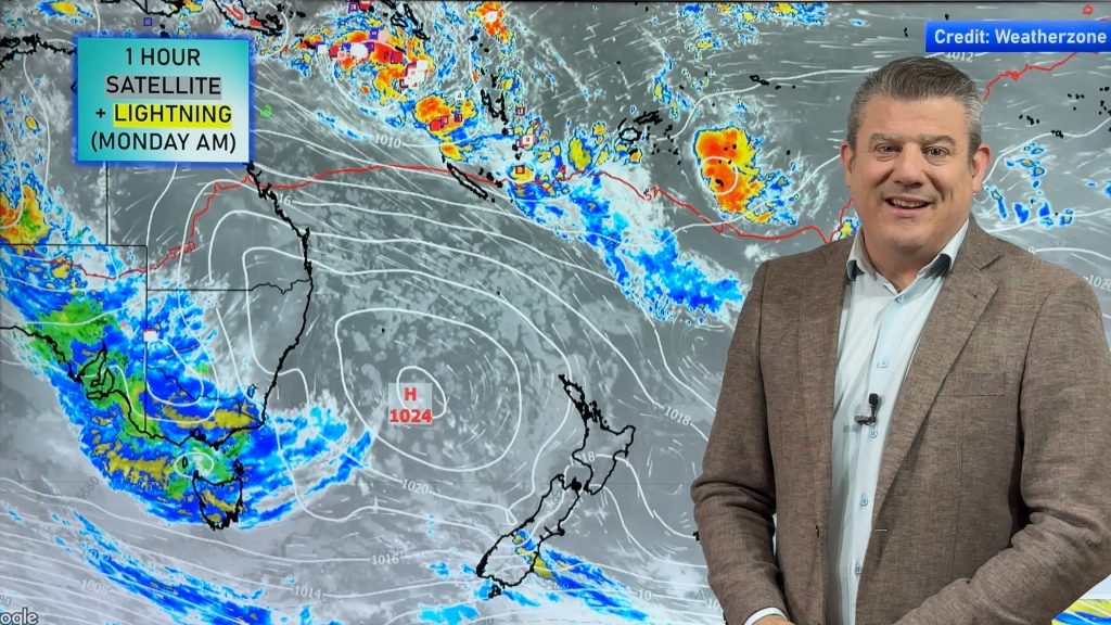
VIDEO: Thunderstorms for NZ & OZ + big high for NZ
6/11/2023 11:50pm

> From the WeatherWatch archives
Thunderstorms and heavy showers will continue to affect inland parts of New Zealand and Australia for a couple more days, then high pressure moves over NZ for Friday and Saturday bringing much more settled weather…and a slight boost in temperatures.
Sydney will be hotter by Saturday and that warmer airflow from NSW will come into parts of NZ.
We track all the thunderstorms and air movements across NZ and Australia over the coming week and weekend.
*Programming Notes
- We have NO VIDEO Tomorrow (Wednesday) as we focus on getting closer to launching our new Alerting App! We return on Thursday.
- We have an EXTRA VIDEO Tuesday afternoon, as part of our new weekly 7 Day Pacific Islands update (A NEW possible tropical cyclone forming again near Vanuatu next week).
- We have an EXTRA VIDEO Thursday afternoon, as part of our new weekly 7 Day Australia-only outlook. (more thunderstorms and heavy hit and miss showers for dry eastern areas).
Comments
Before you add a new comment, take note this story was published on 6 Nov 2023.


Add new comment