VIDEO: Special Update – NZ preparing for storm as Queensland prepares for Cyclone Kimi
18/01/2021 5:01am

> From the WeatherWatch archives
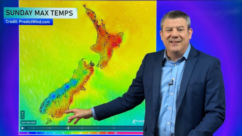
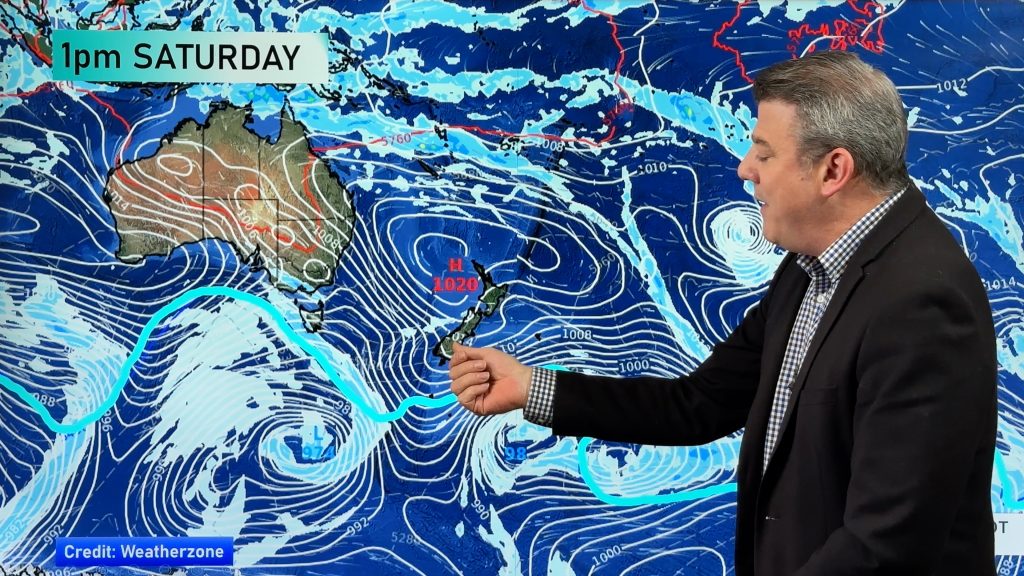
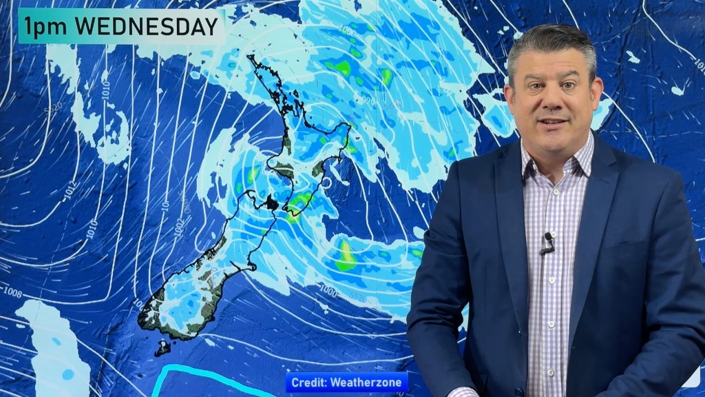
We have an extensive update on the storm about to impact both main islands of NZ + a look at Cyclone Kimi which is approaching Queensland.
For New Zealand expect windy weather to ramp up further over the next 24 hours.
Peak winds will be on Tuesday and Wednesday with peak cold being on Wednesday as a mid-summer southerly kicks in. Meanwhile Cyclone Kimi is forecast to reach Category 2 before making landfall somewhere between Cairns and Townsville over the next day or so. The storm is likely to fall apart but could bring dangerous seas and heavy rain and flooding to parts of coastal Queensland.
Comments
Before you add a new comment, take note this story was published on 18 Jan 2021.


Add new comment
Jared on 18/01/2021 3:16am
When is the Hawks Bay likely to see a decent rain fall? Anything looking further a head?
Cheers
Jared
Reply
WW Forecast Team on 18/01/2021 3:26am
Hi Jared,
At this stage not a lot coming in with a drier than average 7 days ahead for many parts of Hawke’s Bay. The westerly set up isn’t the best right now and then we may be getting more high pressure. Once we’re past this southern storm we’ll be taking another bigger focus on long term (14 day) rainfall. Our next ClimateWatch update (covering the month of February) will be out Feb 2 this year.
Cheers
Phil D
Reply