VIDEO: Relentless westerlies means more western rain
26/08/2024 11:20pm

> From the WeatherWatch archives
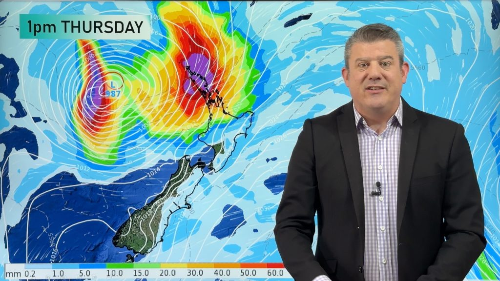
The next week or two around New Zealand are going to be dominated by westerly quarter winds that will surge off and on from lighter to stronger to gale and even severe gale. This relentless westerly flow means that western regions of both main islands will get the most amount of rain with some spillover a little further to the east and to the south.
Over on the West Coast rainfall totals may get up to 500 mm (or more) in some places from the very north to the very south of the South Island over the next 15 days – mainly in the mountains, however for those east of the Southern Alps, in coastal Canterbury, it may only be 5 to 15 mm over the next half a month.
We break down the windy weather, the calmer spells, the colder changes and who gets the rain – we also have two rain maps, one covering the next seven days and the other covering the next 15 days.
Comments
Before you add a new comment, take note this story was published on 26 Aug 2024.
Latest Video
Tropical low to bring wind & rain this week
A low exiting the tropics near New Caledonia this week will grow larger in the Tasman Sea and finally bring…
Related Articles
Tropical low to bring wind & rain this week
A low exiting the tropics near New Caledonia this week will grow larger in the Tasman Sea and finally bring…

High pressure grows, but a stormy end to next week possible
A settled weekend is on the way and apart from a few isolated showers in both main islands many regions…

A tropical low next week *might* affect NZ
It’s not locked in yet, but a tropical storm may end up drifting southwards towards NZ about one week from…


Add new comment
Millsy on 27/08/2024 8:59am
Would love to know when we are going to get sunny settled weather again. I am sick and tired of the rain and wind, and it it causing a toll on my mental health.
Reply
WW Forecast Team on 27/08/2024 9:04am
Sorry to hear that, but spring weather like this can go on for months. Enjoy the fact each week gets 20 minutes more sunlight during September. 🙂
– WW
Reply
Millsy on 27/08/2024 11:46am
So you are saying we might not get decent weather for months? How unfair is that. The weather in this country has gotten worse over the past 15 years or so. I remember during September 2010, it was like summer. Same with 2009, the cicadas had come out in November. It literally shouldn’t be like this.
Reply
WW Forecast Team on 27/08/2024 6:18pm
Sorry to say but this is very normal for now. 🙂 If that occurred in 2009 then that was an oddity.
Reply
Craig on 27/08/2024 2:13am
Hi Phil
Love your website. Keep up the good work! Looking at your video, are you saying Westport is going to get over 500mls by the 11th? Or is the ranges that will get this, with less near the coast? I hope so!!If so, we could be in trouble again!!!
Reply
WW Forecast Team on 27/08/2024 3:57am
It will be in the ranges and spread over 15 days. Usually halve or third the totals for sea level. Keep an eye on our maps for 7 day NZ rainfall outlook and our local data for 10 day local total estimates.
Cheers 🙂
– WW
Reply