VIDEO: NZ: Plenty of Sou-Westers on the way next 7 days
7/12/2023 12:50am

> From the WeatherWatch archives
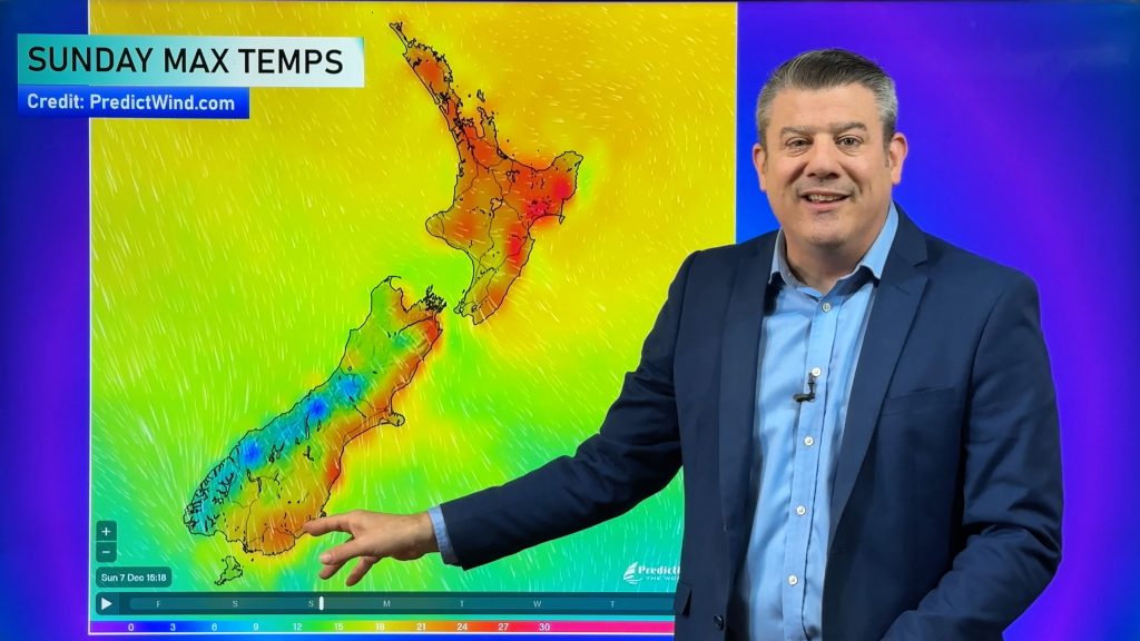
A more spring-like sou-west flow is about to kick in over NZ, usually more traditional in November but can often still flare up in December.
This means eastern areas will have warmer days – with the eastern North Island looking even drier.
Most of the rain will be on the West Coast and Fiordland.
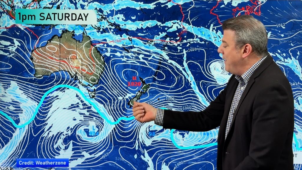
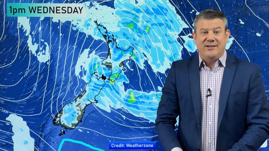
We have a cold front today, weakening as it heads north. Another cold front this weekend. And then another one next week. All of them bring temperature drops for the lower South Island and may even see a brief dusting of snow on the Southern Alps next week.
But temperatures, generally speaking, are leaning a little above average compared to the past 40 years. We have your forecast to the middle of next week
Comments
Before you add a new comment, take note this story was published on 7 Dec 2023.


Add new comment