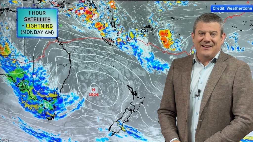
VIDEO: Final update on Gabrielle + NZ/Australia outlook to Tuesday
15/02/2023 11:18pm

> From the WeatherWatch archives
We continue to track departing Cyclone Gabrielle which is weakening and falling apart int he coming days. High pressure is to the rescue with settled weather for many places from now until mid next week
Thursday: We do have a few downpours and thunderstorms in the eastern and upper North Island today (and maybe Friday – but much more isolated). We show you the risk areas and what that means for flood ravaged eastern areas.
The outlook to Tuesday is a mostly dry one for NZ with high pressure, but a cold front and some wet weather is coming in on Wednesday for Southland and then moves up the eastern side of NZ end of next week with a little bit of wet weather for Hawke’s Bay and eastern parts of the North Island (with a temperature drop too).
Finally, we have a tropical outlook as low pressure remains there.
**Programming Note** – We have no video tomorrow, Friday Feb 17th after such a long 10 days. We’re back on deck from Monday with our normal week-day videos.
Comments
Before you add a new comment, take note this story was published on 15 Feb 2023.


Add new comment
Jock Berry on 19/02/2023 12:05pm
Thanks Philip and team for the great video, watching from Qld Australia you give us a good look at what is coming as well, thank you really love your detailed forecast
Reply
David on 17/02/2023 12:25pm
Thanks team, really appreciate and enjoy your great work. Best weather presenter/ presentation I have come across
Reply
Kathryn on 17/02/2023 6:38am
We are so lucky to have you Philip. Thank you.
Reply
Gaye Simpson on 16/02/2023 6:08am
Thanks you so much for such great explanatory videos and enjoy a well deserved few days off. Appreciate your forecasts so much, so accurate!!!
Reply
Lisa on 16/02/2023 3:20am
Well deserved day off tomorrow. Thank you for the updates 🙂
Reply