VIDEO: A couple of cold fronts this week, high pressure dominates though
11/03/2024 12:56am

> From the WeatherWatch archives
High pressure is covering thew Tasman Sea area for much of this week with NZ on the edges of it. This means more cloud in the west and a couple of cold fronts on the way.
This early Autumn/El Nino weather pattern is quite normal – but sadly it limits how much wet weather can get into the driest regions.
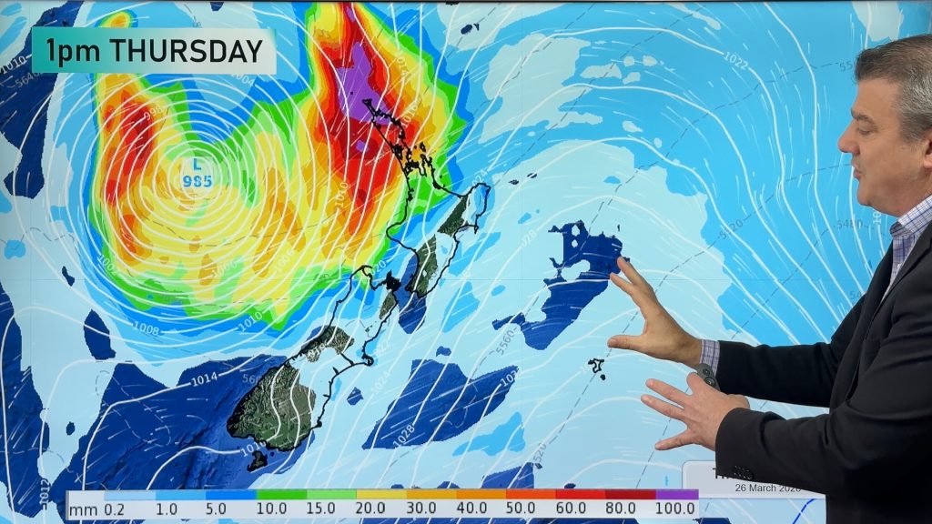
Whilst the tropics are busy with more lows, none of these low pressure zones are forecast by WeatherWatch.co.nz to reach NZ this week, or come anywhere near us.
This is due to controlling high air pressure in the NZ area – something we forecast would be the main feature this month in our recent March ClimateWatch video/update.
We have your forecast around NZ and parts of Australasia through until Sunday.
Comments
Before you add a new comment, take note this story was published on 11 Mar 2024.
Latest Video

Update on severe weather around NZ as storm moves in + outlook for next week
Heavy rain and damaging wind gusts are forecast today, tonight and into Friday across parts of New Zealand as a…
Related Articles
Update on severe weather around NZ as storm moves in + outlook for next week
Heavy rain and damaging wind gusts are forecast today, tonight and into Friday across parts of New Zealand as a…

Subtropical storm moving in, gales and some heavy rain, especially Thu/Fri
Heavy rain and gale winds will slowly move down the country over the next 24 to 36 hours a subtropical…
Tropical storm to bring severe weather to NZ, gales & heavy rain
A tropical cyclone is today leaving the tropics and will grow into a larger storm system for a time in…


Add new comment