Update on wintry snap arriving Sunday/Monday across New Zealand (+4 Maps)
4/08/2021 9:03pm

> From the WeatherWatch archives
A shot of cold air will move up NZ this Sunday and Monday bringing a chance of light sea level snow (or low level snow) to the South Island and a dusting of snow across the North Island’s higher elevation areas.
Highways in both islands may be impacted (see the snow map below) from Sunday to Monday (which are the peak cold days).
Windchill is pretty low with some exposed parts of Southland, Otago and Canterbury hovering around freezing for about 24 to 36 hours and dipping down to about -3 or -4 at times, like on Banks Peninsula. However, wind chill from the polar blast a month or so ago was actually lower. The issue this time around may be that there is more wet weather, which can be the killer for newborn lambs when you add on the windchill.
As for snow, heavy falls in the mountains and ranges of the South Island are fairly widespread too. Snow will be heaviest above 400m but snow flurries are possible down to low levels (100m) and there may be a snow/rain mix to sea level (where it doesn’t usually settle (or settle for long) but isolated pockets get a chance of snow).
Peak cold will likely be early on Monday morning before dawn so that’s likely to be when we see the lowest flurries.
Outlook:
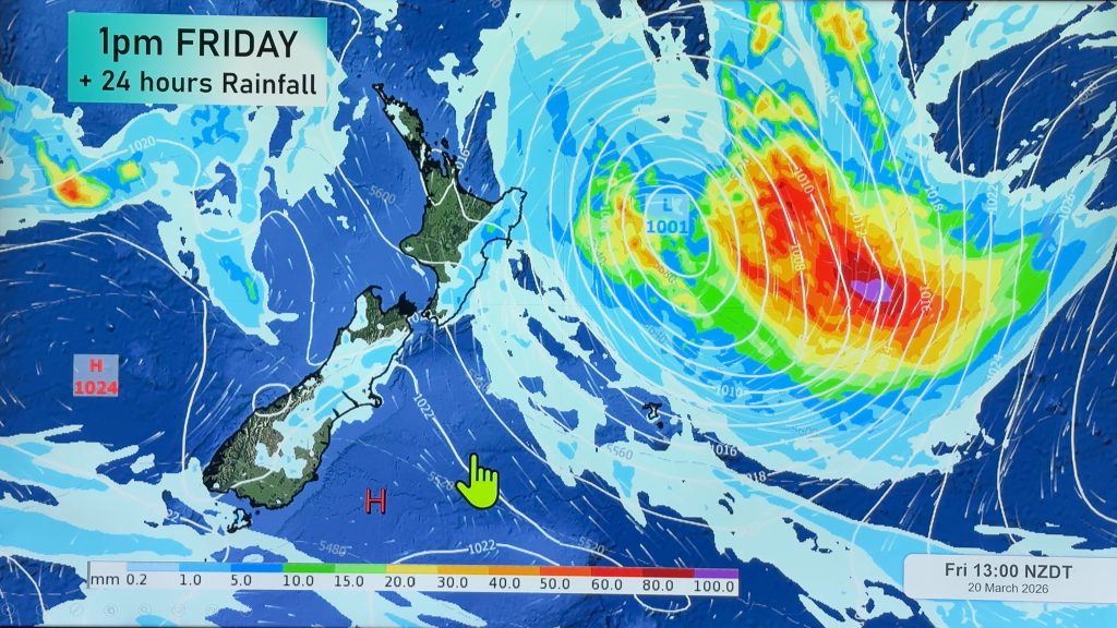
- A Tasman low and frontal system will cross NZ on Friday with areas of rain and/or snow plus gusty winds through until early Saturday.
- Rain totals adding up to 20 – 30 mm are expected in some areas of Tasman, Nelson and Bay of Plenty region today Thursday.
- Gusty winds exceeding 60 – 70 km/h (gale force) are likely in Northland and Auckland region on Saturday but won’t be as intense as they were earlier this week.
- Another low pressure system is approaching NZ on Sunday and will cause widespread rain/snow and some thunderstorms along with gusty winds in some parts of the North Island.
- Snow totals are forecast up to 50 cm in mountainous areas of the South Island from Saturday through Monday.
- Also, snow may mix in with rain showers at lower levels across the South Island – possibly down to 100m or even sea level but with low accumulation (0.1 to 5cm of snow).
- Max temps forecast to be near average or warmer than average across NZ later this week.
- Min temps will run well colder than average from this weekend and even the North Island lows run single digit on Sunday night.
- Southland and Otago region can expect lows below 5 C degree with frost risk on Thursday and Friday nights.
LINKS:
- Need HOURLY hyper-local wind chill for your part of NZ? See the TEMPS tab at RuralWeather.co.nz
- Need Below Zero maps? Click here.


Comments
Before you add a new comment, take note this story was published on 4 Aug 2021.


Add new comment