Tuesday’s national forecast – high pressure is growing again
25/05/2020 4:00pm

> From the WeatherWatch archives
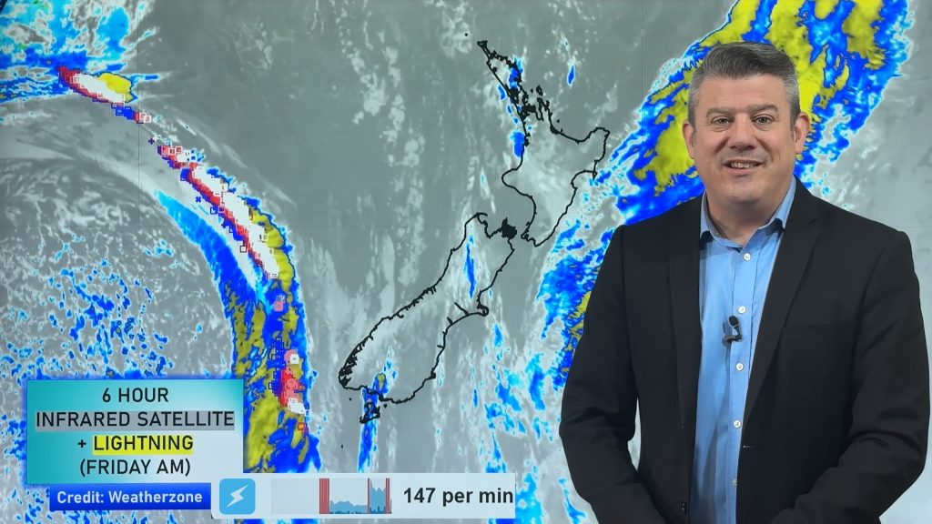
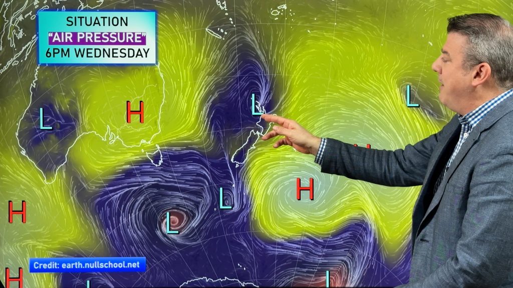
It’s a cloudy day for many regions with the sunniest weather on the West Coast today as high pressure continues to grow.
Northern NZ still has showers while many eastern and northern regions of both islands remain quite cloudy, although sunnier spells are increasing around the South Island.
Here are the regional forecasts for Tuesday – remember to visit RuralWeather.co.nz to drill down locally with the most weather data on earth for NZ.
Northland, Auckland, Waikato & Bay Of Plenty
A mild day with showers, some might be heavy but isolated. Quite cloudy. Variable winds.
Highs: 15-20
Western North Island (including Central North Island)
Mostly Sunny with light winds from the south or south east.
Highs: 13 – 16
Eastern North Island
A much cooler day than Monday with southerlies and plenty of cloud.
Highs: 11 – 14
Wellington
A mix of sun and cloud with southerly quarter winds. Flat temperatures.
High: 11-12
Marlborough & Nelson
Mostly Sunny with SE winds.
Highs: 13-14
Canterbury
A mix of sun and cloud with light winds from the SW.
Highs: 11
West Coast
Sunny with light winds.
Highs: 15-16
Southland & Otago
Fairly cloudy – sunniest weather inland. Light winds as high pressure expands.
Highs: 9-11
For more data visit www.RuralWeather.co.nz
Comments
Before you add a new comment, take note this story was published on 25 May 2020.


Add new comment