> From the WeatherWatch archives
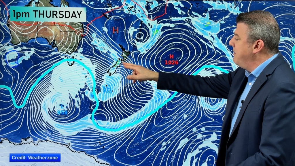
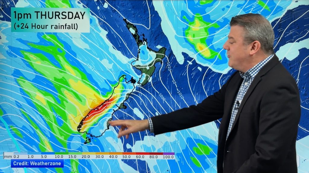
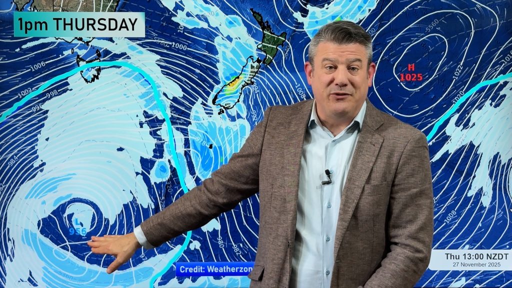
A high sits out to the west of the North Island today while a strong west to northwesterly airflow lies over most of New Zealand. Fairly dry apart from South Westland and perhaps Southland later in the day.
Northland, Auckland, Waikato & Bay Of Plenty
Mainly sunny with West to Sou’Westerly winds, a little breezy in the afternoon. Some cloud possible mainly this morning.
Highs: 17-20
Western North Island (including Central North Island)
Mostly sunny with west to northwesterly winds, breezy during the afternoon hours.
Highs: 16-19
Eastern North Island
Sunny with light winds, perhaps briefly tending southwest in the afternoon near the coast.
Highs: 20-22
Wellington
Mostly sunny with brisk Nor’Westerly winds.
High: 16
Marlborough & Nelson
Sunny with west to northwesterly winds.
Highs: 21-26
Canterbury
Sunny with northwesterly winds, fairly strong especially in the afternoon for inland areas. Near the coast winds may be light to start in the morning.
Highs: 24-25
West Coast
Cloudy areas with westerly winds, chance of a light shower or two about mainly for South Westland.
High: 15
Southland & Otago
Mostly sunny, a few clouds about Southland with chance of a spit or two also mainly later in the evening. Winds strong to gale force from the northwest although not picking up till afternoon about the Otago coast.
Highs: 18-23
By Weather Analyst Aaron Wilkinson – WeatherWatch.co.nz
Comments
Before you add a new comment, take note this story was published on 5 Oct 2015.


Add new comment