Tuesday Newsfeed: Spring’s windier, milder, weather arrives early
26/08/2024 4:00pm

> From the WeatherWatch archives
The windier weather is kicking off today around parts of New Zealand with a new Westerly flow which is likely to dominate the country for the next two weeks, surging off and on due to major storms nearer to Antarctica.
Let’s get into the forecast for Tuesday …
RAIN:
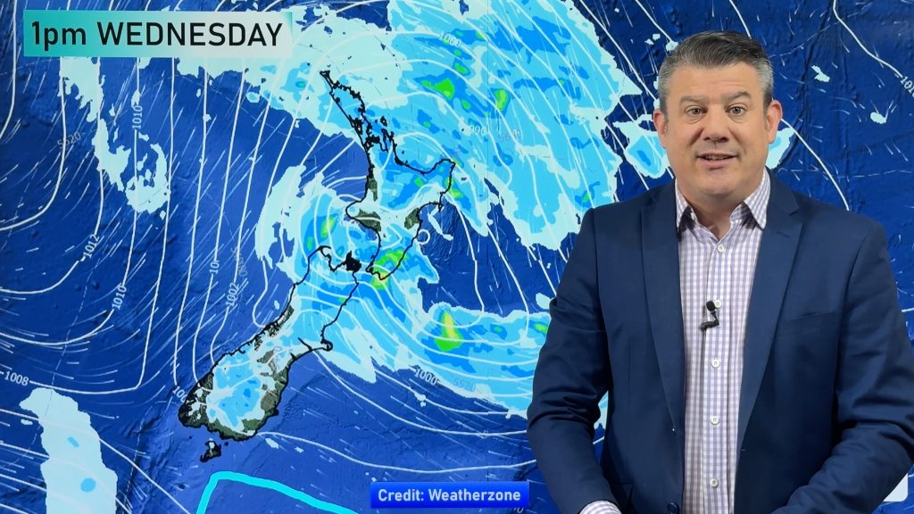
There will be some patchy rain and showers moving across the North Island and the western and upper side of the South Island today. Rain totals won’t be too much in most places and the wet weather should clear up by the time we get to this evening, although may carry on for parts of the lower North Island tonight.
WIND:
Windier conditions will move up the country on Tuesday with windy nor’westers in some parts of the North Island but later winds easing across the South Island as the day wears on.
TEMPERATURES:
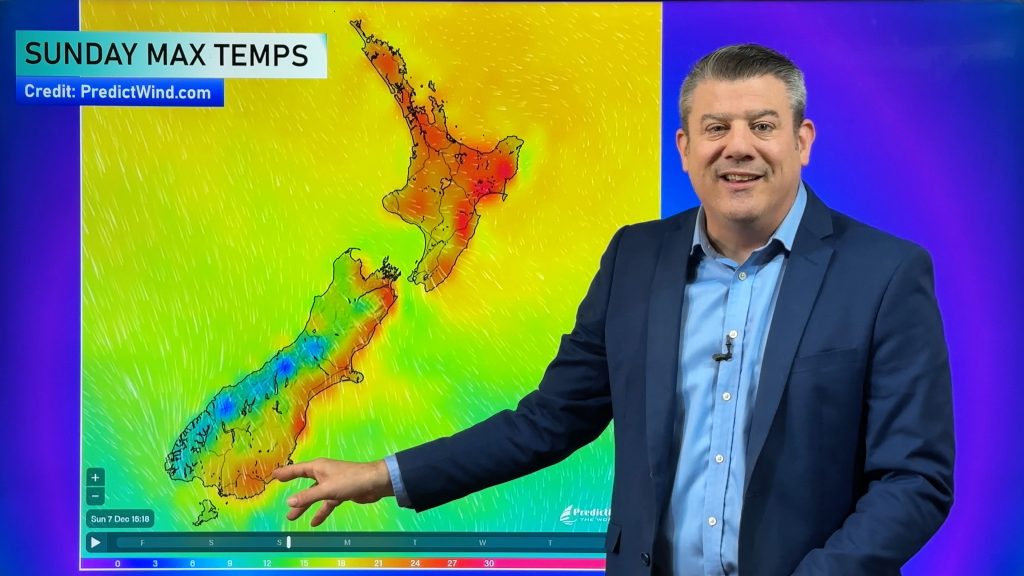
It’s another warmer than average day across many parts of the country although if it’s cloudy and raining you may not necessarily feel it at the time but the overnight temperatures are certainly above average with almost no frosts this week and that’s something considering we’re still in the month of August!
7 DAYS AHEAD:
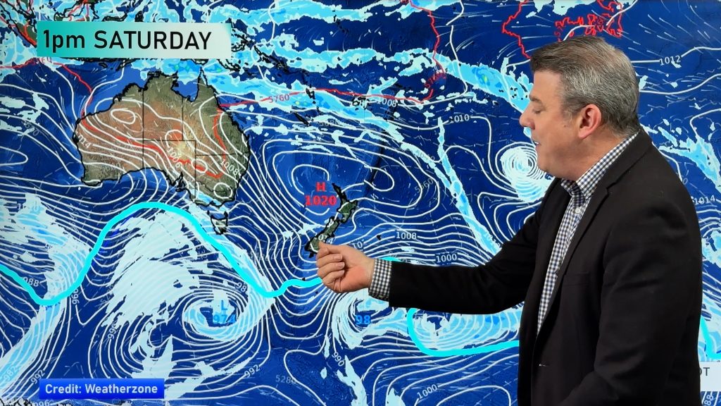
Over the next week ahead the weather is going to be very windy at times due to these storms down over the Southern Ocean and brushing and Antarctica. Central air pressure with the storms will get down to the 920 or 930 hectopascal range, which is very similar to the most powerful tropical storms on the planet. But because these storms are so far south of the country and are polar, we’re really only affected by the wind – and for those of you on the West Coast the rain as well. Many other places are just going to be a bit like September.


As always drill down deeper with your hyper-local, hourly, 10 day forecasts at WeatherWatch.co.nz – or download our exciting new alerting app.
Comments
Before you add a new comment, take note this story was published on 26 Aug 2024.


Add new comment
Melissa Dixon on 27/08/2024 3:54am
Tasmania is the a different continent?
Reply
WW Forecast Team on 27/08/2024 3:55am
Australia is compared to Antarctica 🙂
Reply