Tropical Cyclone Jasper forms, Queensland most at risk in several days
5/12/2023 7:46am

> From the WeatherWatch archives
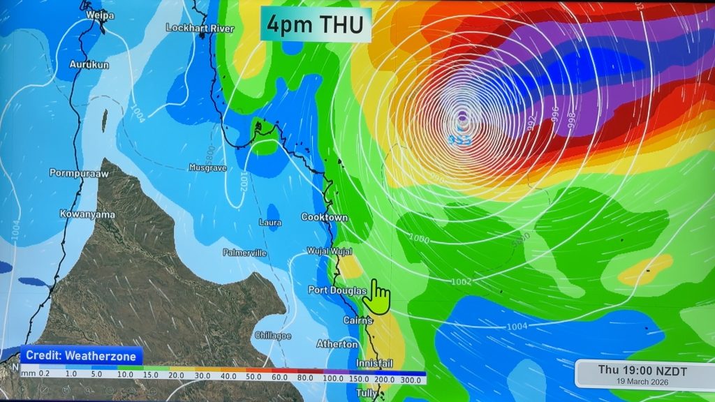
Tropical Cyclone JASPER has officially been named Tuesday evening by the Bureau of Meteorology in Australia.
As of 8:45pm Tuesday NZDT it was Category 1, over the Solomon Sea near the Solomon Islands. It will drift south-westwards over the Coral Sea over the next 24 hours or so, where it will rapidly deepen into at least a Severe Category 4 storm – it may even reach Category 5.
However it’s expected to weaken before it does reach Queensland next week. The current risk zone in Queensland extends over 1500km (almost the length of New Zealand, which is 1600km) from Cooktown to Bundaberg, which includes populated cities of Cairns and Townsville. However in the coming days it’s expected to narrow down to a more specific area.
Jasper is, incredibly, already the third tropical cyclone of the season, and will likely be the third “severe” one too. The cyclone season only started on November 1, with of course the early pre-season Cyclone Lola, which was the earliest Category 5 cyclone on record in the entire Southern Hemisphere.
The future of Jasper will be controlled by high pressure in the New Zealand and Tasman areas and it’s unclear about precise tracking into Queensland let alone will the leftovers reach NZ. But any storm from the Coral Sea can end up in our part of the world, so it’s one to just keep an eye on. For now, there is no impact to NZ.
WeatherWatchTV on YouTube will have a special update on Tropical Cyclone Jasper early afternoon Wednesday NZ Time / late Wednesday morning Queensland time.


WeatherWatch.co.nz Breaking News
Comments
Before you add a new comment, take note this story was published on 5 Dec 2023.


Add new comment