Thursday’s weather headlines (x3): Ridge slipping away, A mainly dry outlook, Warm in the east on Friday
9/03/2022 6:00pm

> From the WeatherWatch archives
THE RIDGE IS ON ITS WAY OUT
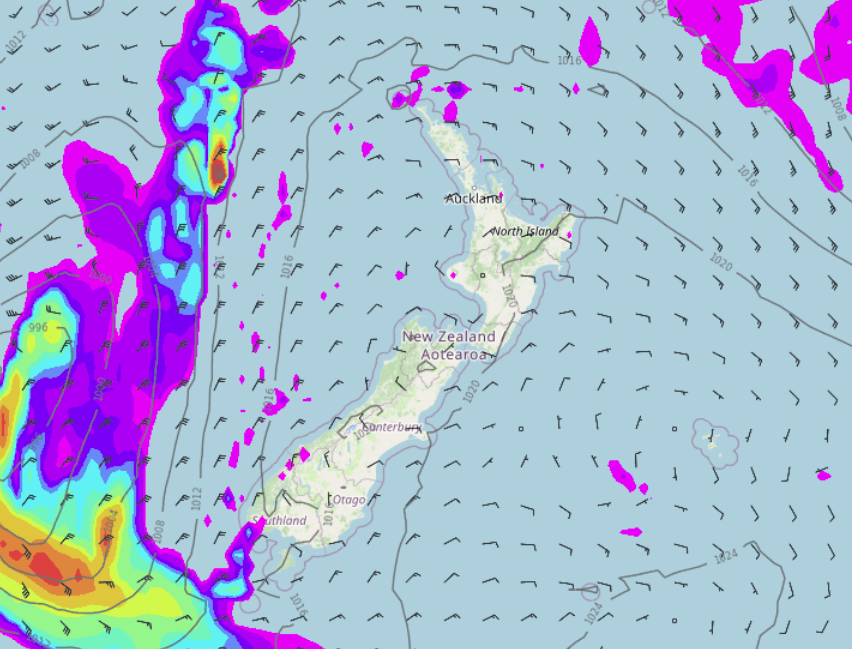
A ridge of high pressure that has been hanging around with us this week is finally moving on tomorrow with a front due to move over the South Island. But today the weather is mainly settled, low cloud or fog about inland and eastern areas breaks away to sun this afternoon. Temperatures warm up this afternoon especially inland getting into the mid to late twenties.

MAINLY DRY OUTLOOK, WEST COAST HAS AVERAGE RAINFALL NEXT 7 DAYS
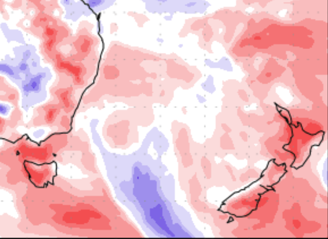
The outlook for the next 7 days is mainly dry, the West Coast is the only region to experience rainfall that is about average for this time of year, thanks to the front moving through tomorrow. While other regions experience a few showers here and there it’s nothing overly substantial, most regions in the South Island are looking pretty good soil moisture wise with North Canterbury and the Wellington region in particular looking fairly wet. Most of the North Island though could do with a touch more rain excluding Wairarapa / Wellington and Taranakai. Western Waikato through to western Northland in particular.
Map below showing most of New Zealand shaded in red which means drier than normal for the next 7 days. The West Coast south of about Greymouth sees average rain fall.

HIGHS IN THE LATE TWENTIES RETURN FOR CANTERBURY ON FRIDAY
I didn’t think I would be talking about temperatures this high again in March but here we are, Friday will see highs ranging between 27 and maybe as high as 29 for Canterbury. So make sure you make the most of the evening weather be it a BBQ, a swim at the beach, take your pick, winter is coming…….

Comments
Before you add a new comment, take note this story was published on 9 Mar 2022.


Add new comment