Thursday’s weather headlines (x3): Return of some fog, Big High, Next front on Monday
2/03/2022 6:00pm

> From the WeatherWatch archives
A TOUCH OF FOG RETURNS
Due to a big high pressure system settling in over New Zealand today, in combination with clear skies leads to a chance of fog about inland areas. This is true this morning for inland South Island areas but tomorrow morning we see a chance for inland North Island spots also. Graph below showing a fog risk for this morning and Friday morning in Gore. To check out your fog risk please visit ruralweather.co.nz type in your location then click on the “Fog/Cloud” tab.

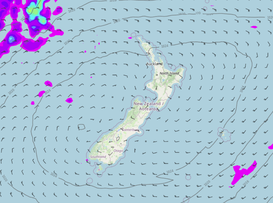
SHES A BIG HIGH
A large high moves in over the country today as mentioned above and hangs around through to this weekend, it brings mainly settled weather. There will be some sun but also expect high cloud at times, areas of low cloud or fog morning and night for inland spots of both Islands. Cloud may be a bit more frequent for Coromandel through to eastern Northland bringing a shower or two. That basically sums of the weather for the next 3 days.

NEXT FRONT DUE LATE SUNDAY / MONDAY
The next cold front is due later on Sunday moving onto the lower South Island, rain develops for Fiordland and some rain or perhaps more likely showers forms about Southland and Otago. During Monday showers push up the east coast with rain possible south of about Banks Peninsula for a time, showers reach the eastern North Island during the afternoon.

Comments
Before you add a new comment, take note this story was published on 2 Mar 2022.


Add new comment