Thursday’s News: Conditions ease from the south, Dry Friday, Showers return in the west on Saturday
9/08/2023 7:00pm

> From the WeatherWatch archives
Here’s what is making the weather headlines today….
CONDITIONS EASING FROM THE SOUTH
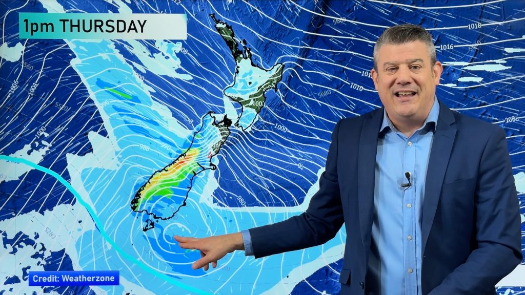
It’s an unsettled day but conditions are easing for the South Island as high pressure starts to move in, some parts of the inner / lower South Island would have been very frosty to start this morning (the Mackenzie country for example). Any snow about the upper South Island clears this morning from the south, any lingering showers for Nelson / Tasman clear this evening.
Most North Island regions see rain or showers today, perhaps a rumble of thunder. Overnight showers clear in the west. Snow about the Central Plateau lowers to 400m this evening then clears overnight.
For warning information on today’s weather from Metservice, please see this page here.
Most regions are cold today or will become cold. The warmest temperatures are for Hawkes Bay / Gisborne for a southwest change moves northwards and Northland, reaching into the mid teens.


MSLP / Rain map – Thursday 10th August 2023 12:00pm – GFS Weatherzone.com.au
DRY FRIDAY
Some settled weather on Friday finally, it’s not completely dry though. The eastern North Island still has showers in the morning but most of these should clear in the morning, perhaps a few stragglers in the afternoon.
A frosty start is likely though, light the fire tonight!


MSLP / Rain map – Friday 11th August 2023 12:00pm – GFS Weatherzone.com.au
SHOWERS OR RAIN RETURN IN THE WEST ON SATURDAY
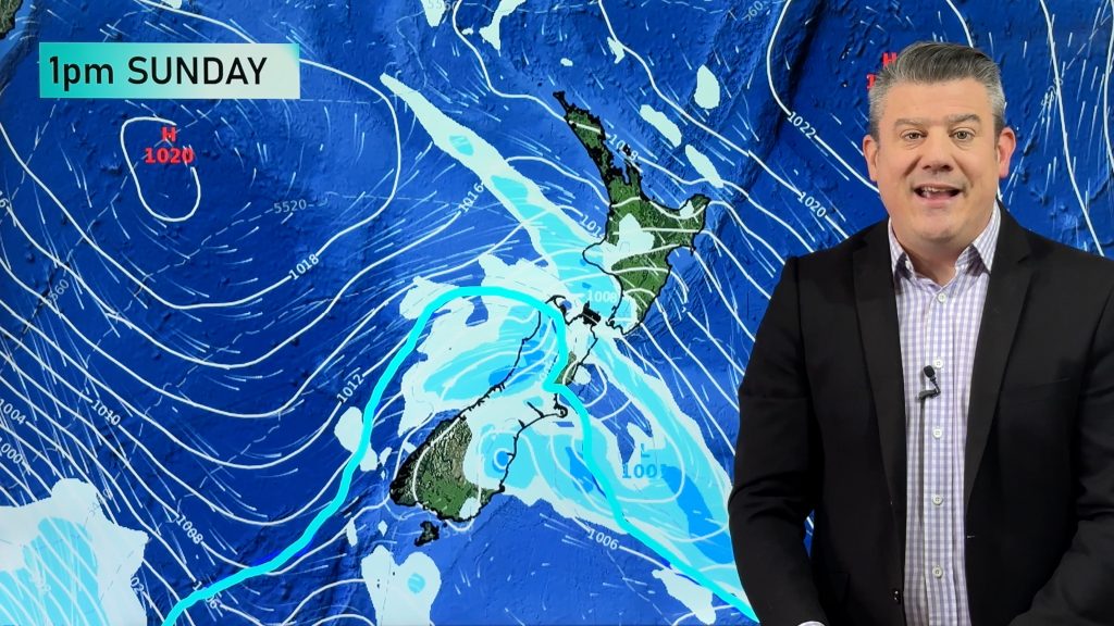
It’s nothing overly drastic but rain does return to the West Coast south of about Greymouth, Buller may see showers in the evening. For the North Island it’s only really the chance of a shower in the west then in the evening north of Taranaki showers become more likely or there may even be some rain as a low / front moves in from the Tasman Sea.

Comments
Before you add a new comment, take note this story was published on 9 Aug 2023.


Add new comment