Thursday’s national forecast – Settled with high pressure (+10 maps)
24/11/2021 3:00pm

> From the WeatherWatch archives
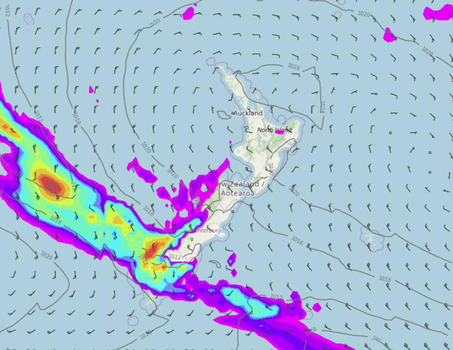
Mainly settled around New Zealand today thanks to a large high pressure system, the upper North Island may see the odd spit or drizzle patch, Fiordland may too especially later today.
Please refer to your local, hourly, 10 day forecast for more details.
Northland, Auckland, Waikato & Bay Of Plenty
Cloudy areas, the odd spit or shower about. Light winds then afternoon sea breezes.
Highs: 21-22
Western North Island (including Central North Island)
Mostly sunny, some high cloud. Light winds tend to the westerly quarter in the afternoon.
Highs: 20-23
Eastern North Island
Mostly sunny, some high cloud. East to northeasterly winds for most, lighter winds for inland areas especially Wairarapa with warmer temperatures then near the coast.
Highs: 19-26
Wellington
Mostly sunny with some high cloud, northerlies freshen up in the afternoon.
Highs: 19-22
Marlborough & Nelson
Mostly sunny, some high cloud. North to northwesterly winds.
Highs: 20-25
Canterbury
Mostly sunny with some high cloud, east to northeasterly winds, further inland winds are lighter with warmer temperatures.
Highs: 22-26
West Coast
Mostly sunny with some high cloud, lower level cloud thickens up about Fiordland bringing a risk of drizzle, especially later. West to northwesterly winds.
Highs: 18-23
Southland & Otago
Sunny areas and some high cloud, west to northwesterly winds for Southland and about inland areas with warm temperatures. Northeasterlies for coastal Otago and a little cooler.
Highs: 18-25
WeatherWatch.co.nz is proud to be setting the international standard for forecasting in NZ – powered by IBM


Comments
Before you add a new comment, take note this story was published on 24 Nov 2021.


Add new comment