Thursday’s national forecast – Low developing to the northeast
21/09/2022 12:00pm

> From the WeatherWatch archives
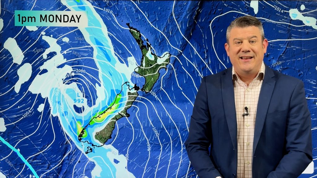
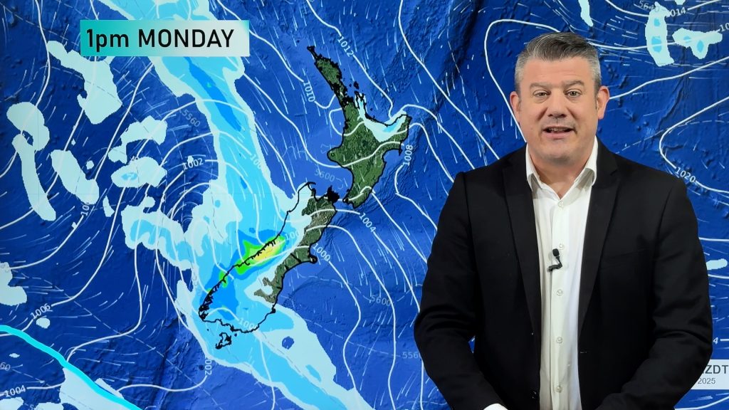
An area of low pressure forms to the northeast of the North Island today driving in showers then eventually some rain, especially for northeastern parts. The South Island has high pressure.
Northland, Auckland, Waikato & Bay Of Plenty
A sunny morning after any early fog clears, isolated showers develop in the afternoon, perhaps some rain in the evening, becoming heavy about Coromandel and Great Barrier Island. Southeasterly winds freshen later in the day.
Highs: 17-19
Western North Island (including Central North Island)
A mix of sun and cloud with the odd spit or shower possible closer to the eastern ranges in the afternoon, southeasterly winds.
Highs: 13-18
Eastern North Island
Patchy rain or showers, picking up from afternoon with heavy rain possible north of Napier. Southeasterly winds.
Highs: 14-17
Wellington
A few morning showers clear then sunny spells break through, southeasterly winds.
Highs: 12-13
Marlborough & Nelson
Any early showers clear then sunny spells increase, southeasterly winds. Afternoon northerlies for Nelson.
Highs: 14-17
Canterbury
Low cloud or fog possible morning and night, mostly sunny otherwise with light winds tending east to northeast in the afternoon. Any morning showers clear the Kaikoura area then sunny spells increase.
Highs: 12-16
West Coast
Sunny with light winds.
Highs: 16-19
Southland & Otago
Mostly sunny, some low cloud or fog possible morning and night. Light winds tend onshore in the afternoon.
Highs: 14-18
Comments
Before you add a new comment, take note this story was published on 21 Sep 2022.


Add new comment