NZ VIDEO: Milder northerlies this weekend, colder air next week again
14/08/2025 12:35am
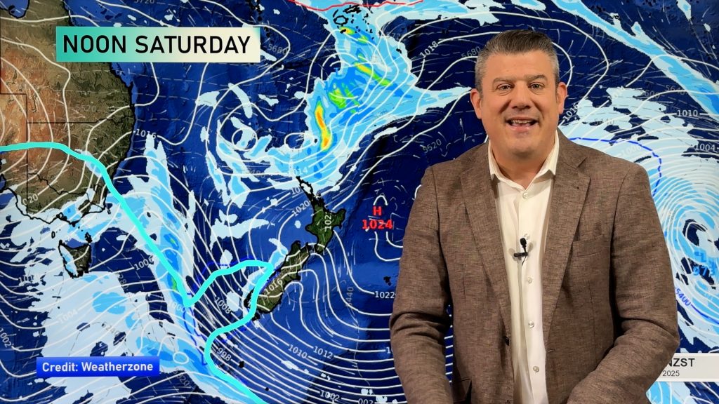
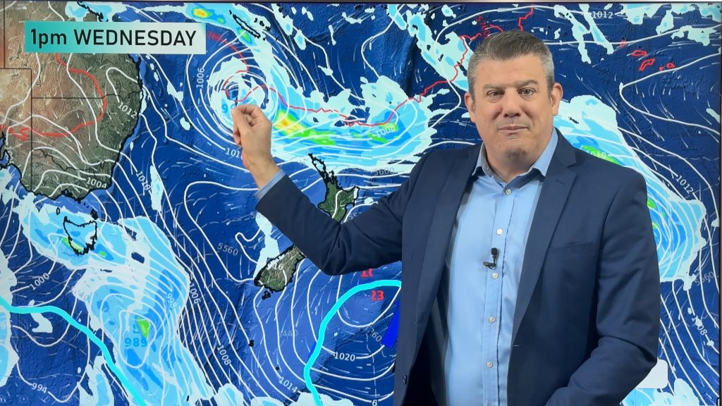
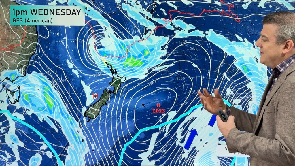
A northerly flow will spread over a number of regions this weekend, nudging temperatures up for a time but also indicating high pressure will be leaving us during Sunday and Monday as low pressure returns.
At the same time as low pressure areas move in next week, another wintry southerly comes in. This will make for bleak conditions in the eastern South Island in particular with damp low wind chill even during the warmest part of the day, then into the lower half of the North Island with some snow about (ranges and mountains).
The forecast is a bit messy – but compared to what happened on this day in 2011 we have very settled weather at the moment! (14 years ago today/tomorrow snow fell in Dunedin, Christchurch, Wellington and even parts of Auckland and Northland!).
Comments
Latest Video

Temperatures to lift, before dropping again this weekend
Subtropical and north-west winds will help boost temperatures around NZ both by day and night followed a colder couple of…
Related Articles
Temperatures to lift, before dropping again this weekend
Subtropical and north-west winds will help boost temperatures around NZ both by day and night followed a colder couple of…
Subtropical low vs subantarctic energy = typical early Autumn setup
A low pressure zone leaving Queensland tonight may brush the very top of the North Island midway through this week…
Subtropical low next week worth monitoring as high pressure controls all
High pressure smothers NZ today and will weaken a little on Sunday and Monday to allow a cooler southerly flow…


Add new comment
josh on 14/08/2025 1:21am
i remember that snow in auckland that time. it was a cold day. also 3 years ago a big atmopsheric river bought tasmin/nelson flooding worst than this years and record breaking warm tempuratures of august.
Reply