Thursday’s national forecast – A bit cool in the east, warm out west (+4 maps)
3/02/2021 3:00pm

> From the WeatherWatch archives
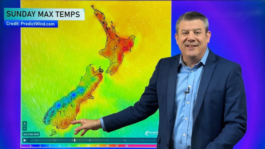
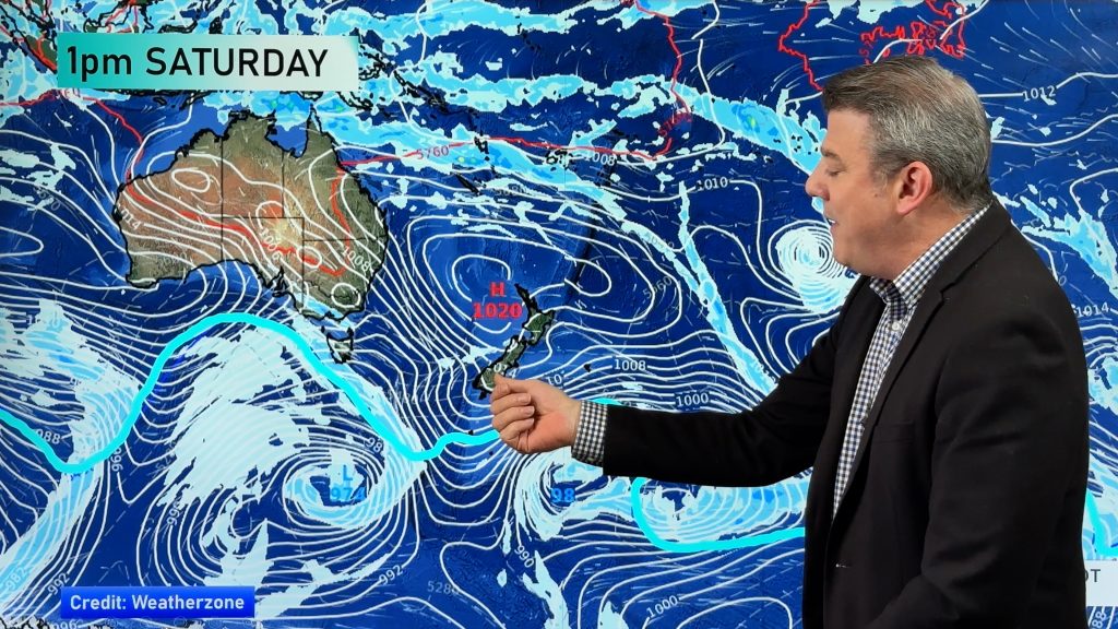
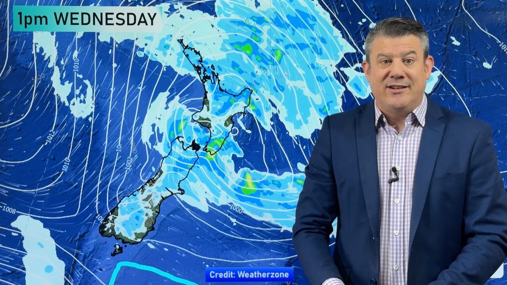
A southerly airflow brings cloud and the odd shower to some eastern regions today meanwhile conditions are mostly sunny out west.
Any early showers clear Canterbury / Marlborough this morning, dry for the South Island otherwise. There may be a shower for the eastern North Island this morning then again overnight.
Temperatures are a little cool in the east today, much warmer out west especially about Waikato where highs get into the low thirties.
Southerlies are a little breezy in the east today, mainly the eastern North Island. Winds through Cook Strait and about southern Taranaki on the coast are brisk to strong from the south or southeast.
Please refer to your local, hourly, 10 day forecast for more details.
Northland, Auckland, Waikato & Bay Of Plenty
Mostly sunny, there may be some cloud at times especially morning and / or evening. A hot afternoon about the Waikato. Light winds with afternoon sea breezes.
Highs: 24-30
Western North Island (including Central North Island)
Mostly sunny with southeasterly winds.
Highs: 20-26
Eastern North Island
Morning cloud develops with freshening south to southwesterly winds, chance of a shower then sunny spells breaking back through in the afternoon. Overnight cloud thickens again with a few showers.
Highs: 19-23
Wellington
Morning cloud then mostly sunny, breezy southerlies ease later in the day.
High: 17-19
Marlborough & Nelson
Morning cloud then afternoon sunny spells for Marlborough with easterly winds. Nelson has a mostly sunny day, a few afternoon clouds with winds tending to the north.
Highs: 20-23
Canterbury
Risk of a morning shower then sunny spells break through from afternoon, more so near the coast then cloud breaks inland later in the day. Breezy southerlies ease later in the day.
Highs: 16-18
West Coast
Mostly sunny, some cloud later in the day. Light winds.
Highs: 22-28
Southland & Otago
Any early cloud clears then sunny, some cloud may hang about north Otago during the day. Coolest day time temperatures about coastal Otago. East to southeasterly winds.
Highs: 15-23


Comments
Before you add a new comment, take note this story was published on 3 Feb 2021.


Add new comment