Thursday outlook: Pockets of wet weather in both main islands (+3 Maps)
11/12/2024 7:02pm

> From the WeatherWatch archives
There is a chance for rain relief in dry parts of the North Island today, but the heaviest falls will be hit and miss.
Let’s get into the forecast for Thursday to start with…
RAIN:
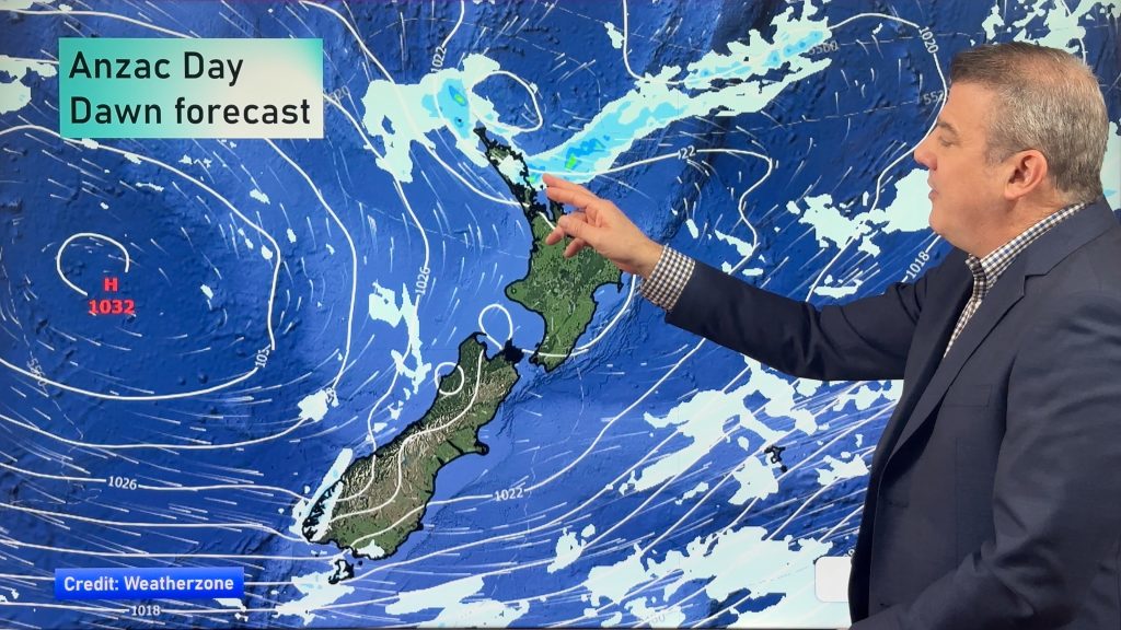
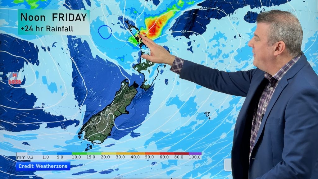
A band of rain or showers moves down the upper North Island today and will exit eastwards on Friday. This will bring some pockets of rain relief to some parts of the upper half of the North Island. In the South Island rain and showers affect the West Coast and possibly some showers into Southland (although won’t be much for Southland and likely dry in Northern Southland).
WIND:
Westerly quarter winds continue today for the South Island with strongest winds around the Southern Alps – but below gale for the most part. Northerly quarter winds are most likely for the North Island – or, winds will be calm and variable.
TEMPERATURES:
No big change in temperatures today from yesterday – most of NZ is warmer than average for this time of year.
WEEK AND WEEKEND AHEAD
Friday looks similar to Thursday for the South Island, but a few isolated showers may also form in Otago and Canterbury. The North Island becomes mostly dry, although may be a western shower around Waikato or Auckland. Those in eastern places like Hawke’s Bay should notice the heat returning with highs back to around 30 degrees.
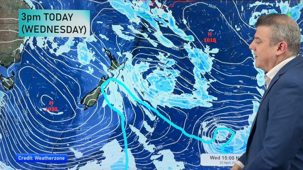
This weekend sees no major changes to the weather. On Saturday a powerful storm well south of NZ will encourage more rain to the southern half of the West Coast with heavy falls, and more nor-westers in many regions, especially the South Island and very lower North Island. Sub-tropical airflows will also be coming into NZ keeping temperatures above normal for this time of year, especially in the east.
On Sunday there are a few showers, mostly in the South Island, and westerlies are most dominate – but check your local forecast as westerlies aren’t for all.


Drill down deeper with your hyper-local, hourly, 10 day forecasts by downloading the FREE WeatherWatch App.
Comments
Before you add a new comment, take note this story was published on 11 Dec 2024.


Add new comment