Thursday Newsfeed: Wet & windy as westerly gales blow through, thunderstorms too
29/08/2024 6:30am

> From the WeatherWatch archives
It’s a windy day across many parts of New Zealand today with gale force winds, possibly severe gale in exposed places, blowing in off the Tasman Sea.
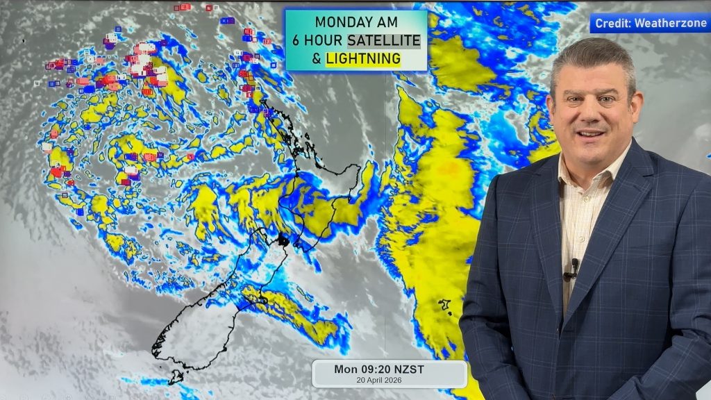
This evening thunderstorms are scattered across NZ from off the Tasman Sea.
*WeatherWatchTV Programming Notes:
- Our 7 Day Australia-only video will be a day late this week, published tomorrow/Friday
- Our September ClimateWatch Update will be issued on Monday September 2nd.
Let’s get into the forecast for Thursday
RAIN:
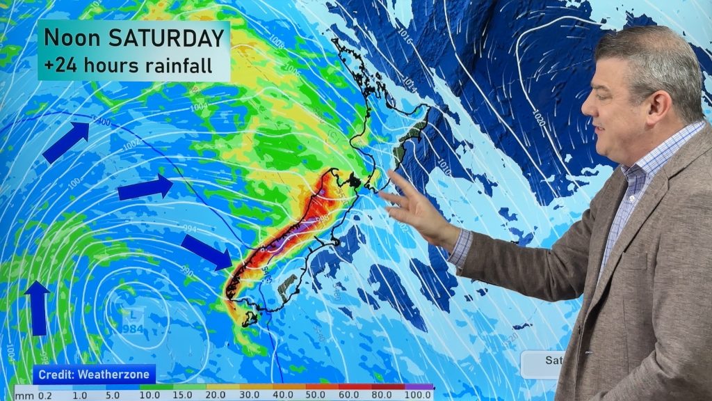
There’s no shortage of rain and showers if you live along the western side of the country today as those blustery winds drag in plenty more wet weather. Because of the spring-like nature to this set up some of the downpours today maybe heavy and squally with the chance of an isolated thunderstorm as well. Eastern areas look to be the driest across both main islands.
WIND:
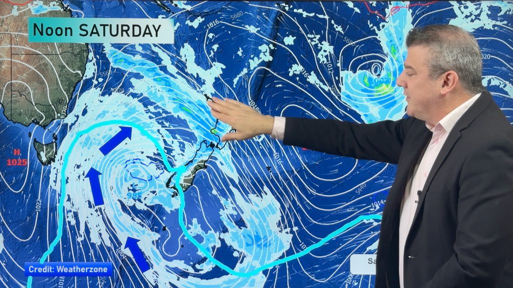
Windy weather is the main feature of Thursday’s weather with strong to gale force West to Northwest winds, which may reach severe gale in some exposed places. Please keep up-to-date with the MetService severe weather warnings which are available here or in our new alerting app.
TEMPERATURES:
Thursday is another warmer than average day across most of New Zealand although the mountains and ranges will be colder than usual due to colder air moving up the country at higher altitude, so that will produce a little bit of snow on the mountains and ranges over the next 24 hours. For most main centres today and tonight will be warmer than average for this time of the year.
5 DAYS AHEAD:
There is plenty more windy weather to deal with before we’re done with this all. Friday is windy but Saturday looks even windier across many places before easing back a bit on Sunday. By Monday and Tuesday of next week the next surge of strong to gale force winds move back through with next week being off and on with windy westerlies. This setup means that those of you in the west are most likely to have the heaviest rain while those of you along the eastern side especially near the eastern Pacific coastline are likely to get the lowest rainfall totals.
The very top of the North Island looks least windy over the week ahead, but gales are still possible at times in exposed places.
Please Note: Being such a super-large system this is a more changeable forecast. The best way to keep track of when peak winds and rain will be where you are is to look at the TRENDS/GRAPHS in our Free App. They are updated every hour and WeatherWatch/RuralWeather proudly use the world’s most accurate forecast data. It’s especially helpful at finding general start, peak and end times for wind, rain and temperature changes.

As always drill down deeper with your hyper-local, hourly, 10 day forecasts at WeatherWatch.co.nz – or download our app.
Comments
Before you add a new comment, take note this story was published on 29 Aug 2024.
Latest Video
Heavy rain, gales, thunderstorms for some – but high pressure is tracking back this week
This week kicks off with a large low bringing instability and changeable forecasts, but as the low drifts over the…
Related Articles
Heavy rain, gales, thunderstorms for some – but high pressure is tracking back this week
This week kicks off with a large low bringing instability and changeable forecasts, but as the low drifts over the…
Large low = chopping & changing forecasts next several days
Expect weather forecasts to shift around a bit over the weekend and across next week in some regions as a…
Large low lingers for weekend & next week
Large lows don’t always equal severe weather – but a low pressue zone larger than New Zealand looks to hang…


Add new comment