Thursday Newsfeed: Stormy subtropical low may brush North Island on Saturday
17/07/2024 4:00pm

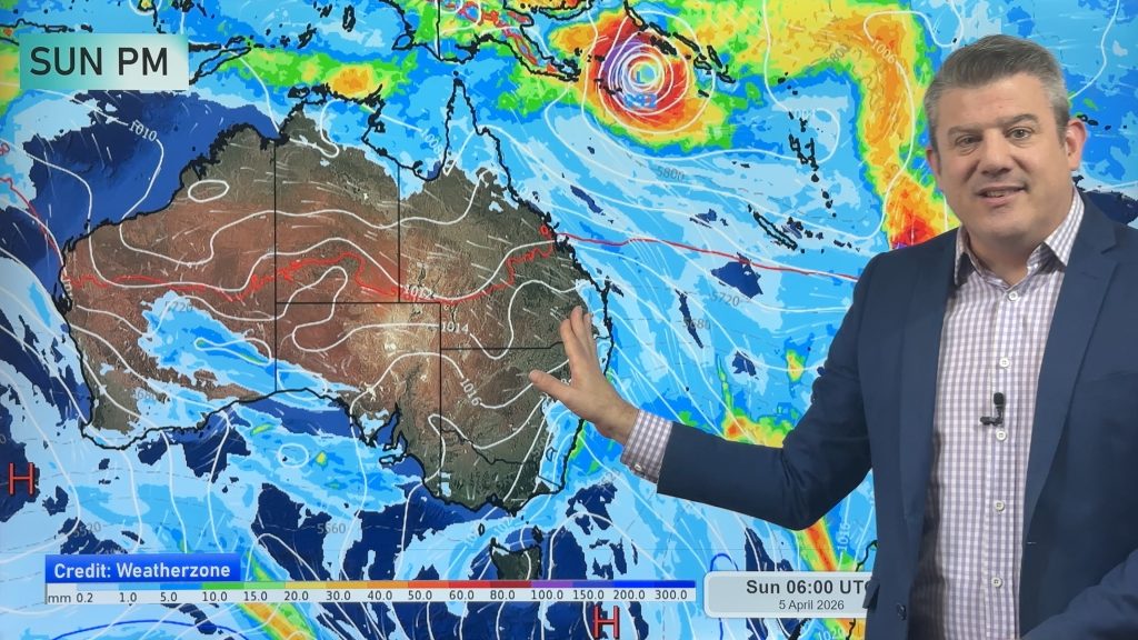
> From the WeatherWatch archives
Thursday is a fairly calm and dry day for many parts of NZ, ahead of more rain on Friday and potentially severe weather in the north-east of the North Island on Saturday.
Cloudy areas, fog and calm weather or light winds define Thursday – with wettest weather in the east from about Christchurch up to Napier, and then a few showers likely in Northland and the Far North by afternoon or evening.
Friday sees rain returning to the north, and the western side of the country – along with a stronger north to north-west breeze to blow morning fog away and improve the weather in the east of both main islands, south of about Gisborne.
It will again be warmer than average for most places.
But from about Noon Friday to 6pm Saturday a new low in the subtropics will rapidly deepen, quickly exit the subtropics, and then may bring severe weather to the north-eastern North Island (East Cape, Gisborne, Tairāwhiti, Hawke’s Bay). It’s not yet locked in – and our weather video today will drill down even deeper with the latest updated modelling (from what you see below). One positive for those who are concerned is that this storm looks to be very fast moving, gone by Sunday type-of-thing. But again, we’ll have more details in our Thursday weather video.


- WeatherWatch.co.nz
Comments
Before you add a new comment, take note this story was published on 17 Jul 2024.
Latest Video
NZ: Easter weekend forecast + tropical cyclone monitoring for next week
High pressure is building for NZ this week but Easter Weekend may see some wet weather potential, especially in the…
Related Articles
NZ: Easter weekend forecast + tropical cyclone monitoring for next week
High pressure is building for NZ this week but Easter Weekend may see some wet weather potential, especially in the…

NZ 11-day forecast: Covering Easter weekend weather
This week looks to be mostly about high pressure and a few isolated showers/downpours. Easter Weekend may be similar –…

Update on severe weather around NZ as storm moves in + outlook for next week
Heavy rain and damaging wind gusts are forecast today, tonight and into Friday across parts of New Zealand as a…


Add new comment