> From the WeatherWatch archives
We’ve had several rough weeks of weather but this week conditions should be far more settled especially for those regions that copped a big wintry blast last week.
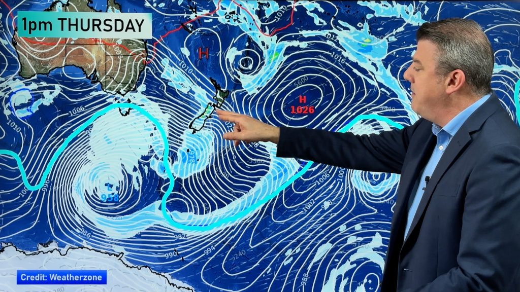
A large high should spend much of the week anchored around the South Island bringing sunnier, calmer, and warmer days to most places.
The northern side of the high is expected to lie over northern New Zealand and that will bring in winds from the easterly direction. They’re expected to drag in some cloud and possibly a few showers to Northland and maybe a little further south.
The North Island should see some pretty good day time highs and the South Island will be considerably warmer this week than it was after the Antarctic blast last week. However clear skies and light winds at night could make for a few cold nights over both islands, especially the South Island.
Despite the relatively settled weather The Weather Watch Centre will be monitoring some low pressure systems just north of New Zealand. While none of our models show anything nasty forming in the next few days if one does organise itself properly it could drive in some rain and stronger winds to northern New Zealand – especially later in the week.
Be sure to check back throughout the week for all our latest updates.
Don’t forget we’re also monitoring a late season tropical storm in the Atlantic. Click here for the latest.
Comments
Before you add a new comment, take note this story was published on 9 Nov 2008.


Add new comment