> From the WeatherWatch archives
Sydney has stayed colder than 14 degrees for the past three days, the longest it has stayed this cold in 31 years.
The temperature reached a maximum of 13.8 degrees on Monday after peaking at 13.9 on Sunday and 13.5 on Saturday. This is the longest it has stayed this cold since July 1982 when the city stayed below 14 degrees for four days.
Typically when Sydney gets this cold it is later in winter, when the Tasman Sea has cooled a bit more. It was back in 1955 when Sydney last had three consecutive days this cold in June.
Despite sea temperatures being 19 degrees, dense cloud and heavy rain have kept the city and suburbs significantly cold.
Sydney has only seen a few brief glimpses of the sun, less than an hour in total for the three days.
Tuesday is not looking much warmer due to lingering cloud and the return of the rain. It is now looking highly likely for a burst of heavy rain, strong winds and dangerous surf to move up from the south and hit Sydney.
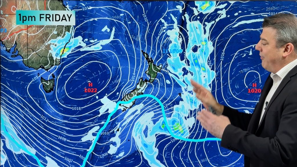
A low pressure trough has remained near-stationary near the New South Wales coast for a few days, leading to the cold, wet weather. The trough has spawned three-or-four small, but intense low pressure systems, bringing occasional bursts of heavy rain and gusty winds. Tuesday and Wednesday look like the last of these sort of days before the lows finally move away.
A severe weather warning has been issued.
– Weatherzone
Comments
Before you add a new comment, take note this story was published on 25 Jun 2013.


Add new comment