> From the WeatherWatch archives
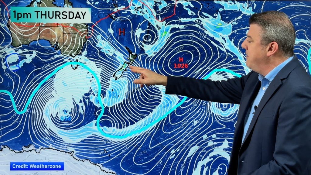
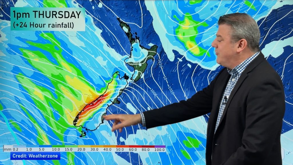
An area of low pressure, which helped fuel strong nor’westers over the South Island and lifted temperatures as high as 33 degrees in the weekend, is today moving across New Zealand – and behind it comes a cooler south west change.
In the Tasman Sea an anticyclone, initially expected to cover New Zealand by Tuesday, now looks set to only mostly cover the North Island – especially the top half. That means those cooler south’west winds will last a few days longer everywhere else… and not easing until Wednesday for most places.
For the South Island’s east coast that means a big drop in temperatures from the lower 30s in the weekend to the lower teens this week.
For Aucklanders and others in the north it’ll mean a slight drop in temps from the lower 20s to around 17.
The sunniest and warmest weather will probably be in places like Bay of Plenty and Gisborne – the regions furthest from the origins of the south west winds.
Wellington looks set to have a sunny week once those winds turn south west later today or tomorrow and Auckland will see an improvement by Wednesday – with perhaps more summer-like weather returning to northern and central New Zealand around Thursday and Friday.
The next spring storm looks set to arrive around Friday or Saturday in Southland and the West Coast – and the nor’westers ahead of it could mean more hot weather in eastern areas of both islands…we’ll keep you up to date as the week progresses!
Comments
Before you add a new comment, take note this story was published on 16 Nov 2008.


Add new comment
SW on 17/11/2008 1:36am
Looks like one of those “nasty highs” we get in Auckland where all it does is brings just Wind and light showers/sunny spells then anticyclonic gloom as it slowly goes east.
Reply