> From the WeatherWatch archives
Big High Pressure System Set to Move Over Entire Country
+ Can you recall a time when we had so many easterlies in winter?
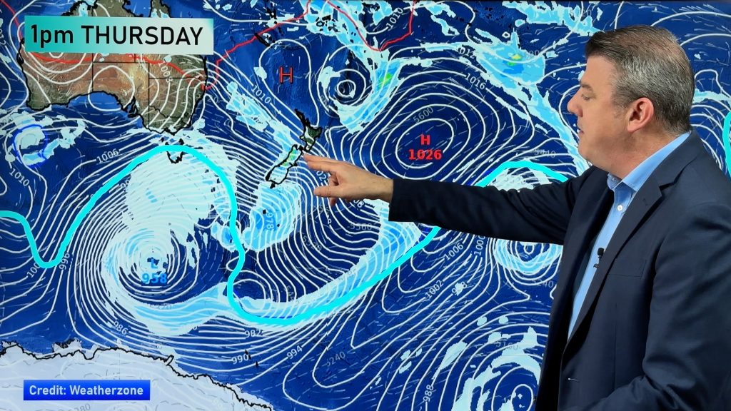
The deep low that brought cyclone force winds to northern New Zealand is today giving the east coast a run for its money. But despite winds of 85km/h gusting across northern Gisborne and rain in Napier, conditions are going to gradually improve. “The sun is out in the north along with a strong breeze – it’s perfect ’drying out’ weather” says Philip Duncan, head weather analyst at the Radio Network. “There’s a big high in the southern Tasman and tomorrow it’ll be centred near Christchurch”.
That means more bitterly cold temperatures for the South, and a cold wind chill over the North. “It currently feels like minus 10 or 11 in Queenstown and most of Central Otago is the same”. The lack of wind over the South Island will produce more severe frosts tonight.
In the North a strong to breezy south easterly from Tuesday’s big low will stop frosts in a lot of areas, but Friday night will be another story. “By then most places will have only light breezes. There’ll be frosts for many”. Duncan says the feels like temperature in Auckland today will only get up to around 7 or 8 degrees.
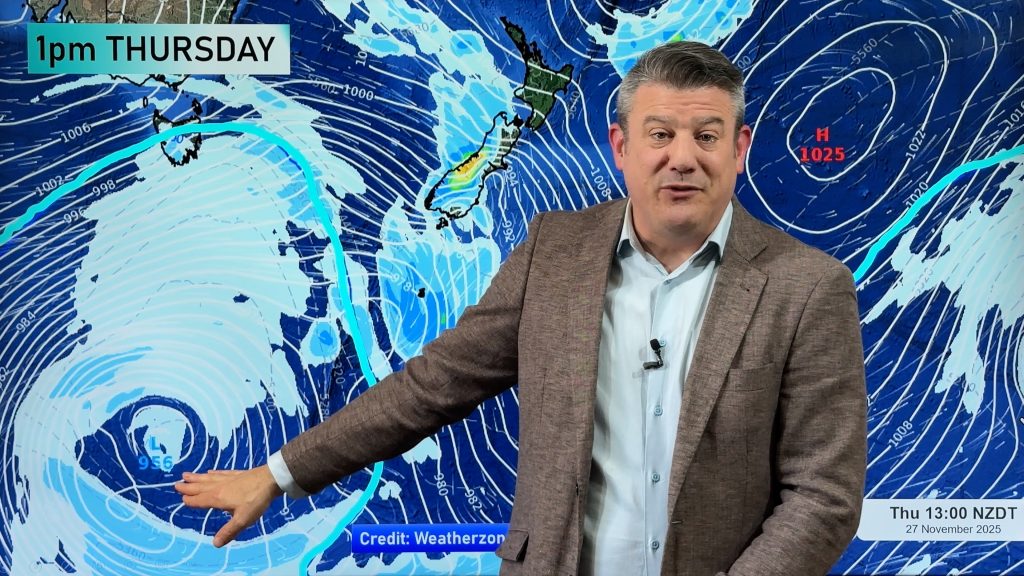
But another low forming in the Tasman in the next 48 hours will see a return to warmer north easterlies in the north. “This month is certainly being dominated by easterlies which is unusual as our prevailing wind in winter is westerly. It’s just the pattern we’re in”.
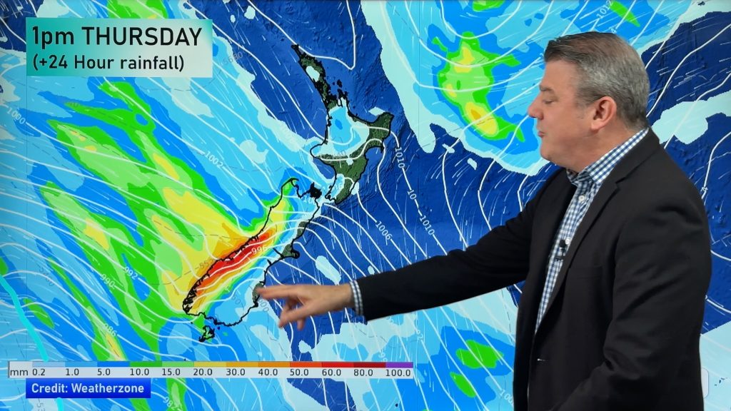
For those in the north worried about more rain, the next 72 hours are looking mainly dry. “Could just be the odd brief, light, shower. This next low in the Tasman looks set to cross Northland late Sunday or Monday bringing some rain, but it’s not expected to be anywhere near as big as the low on Tuesday and certainly at this stage no alarm bells are ringing in our weather centre”.
Comments
Before you add a new comment, take note this story was published on 11 Jul 2007.


Add new comment