> From the WeatherWatch archives
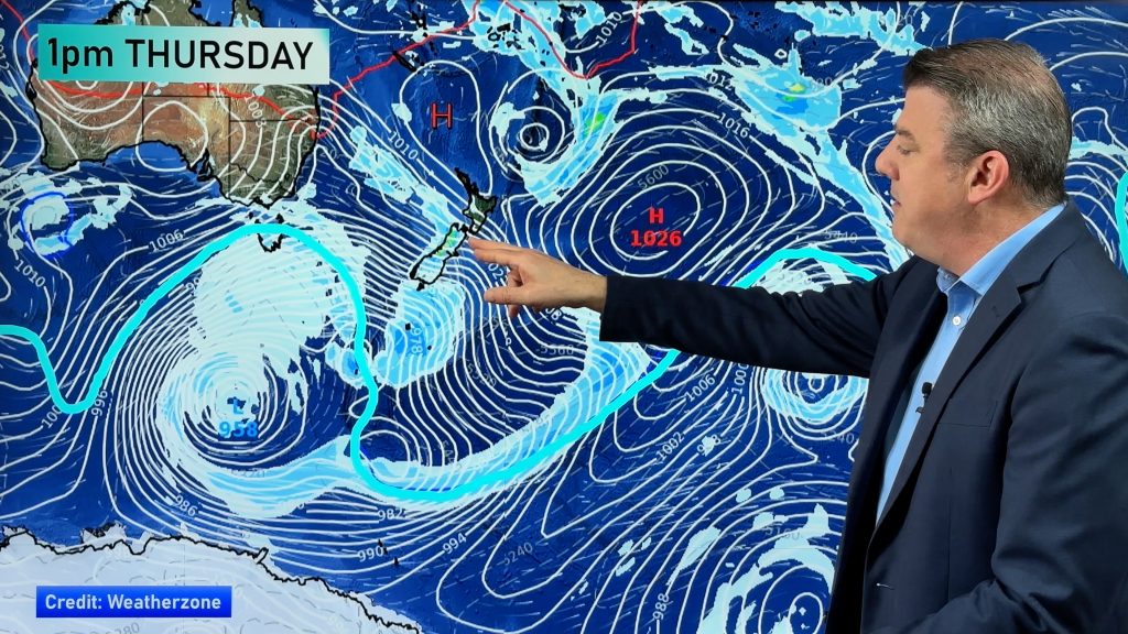
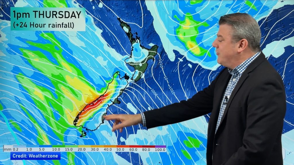
Nationally this was the coldest day for 3 months.Not everywhere had showers but strong southwesterlies covered most of the country with some heavy showers in a few areas with hail in the mix, a little thunder too and to finish it off, some snow on higher ground!
Tonight will be very cool to cold in most places and tomorrow, a gradual easing should take place but winds may rise again in the far south, once again from the southwest direction.
The top temperature stakes went to Kaitaia with 23 and the low was a very wintry 6 in Culverden.
Kaitaia : 23
Whangarei : 21
Auckland : 20
Tauranga : 21
Hamilton : 20
Whakatane : 21
Rotorua : 17
Tokoroa : 18
Taupo : 15
Gisborne : 21
New Plymouth : 18
Napier : 20
Hastings : 20
Wanganui : 18
Palmerston North : 16
Levin : 16
Kapiti : 17
Masterton : 13
Wellington : 15
Nelson : 18
Blenheim : 17
Westport : 16
Greymouth : 16
Hokitika : 15
Christchurch : 12
Timaru : 11
Oamaru : 10
Alexandra : 12
Queenstown : 8
Dunedin : 12
Invercargill :9
Bay of Islands : 22
Murchison : 13
Kaikoura : 15
Culverden : 6
Ashburton : 11
Darfield : 10
Lyttelton : 12
Hanmer Springs : 10
Milford Sound : 18
Haast : 16
Gore : 8
Dunedin Airport : 11
Manapouri : 10
Lake Rotoiti : 12
Molesworth : 8
Comments
Before you add a new comment, take note this story was published on 11 Mar 2009.


Add new comment
Mandeno Moments on 11/03/2009 7:19am
Hi Philip
What was causing the wind today? I was in Clendon, in an area with a view of the Manukau Harbour, and I’d estimate the wind to be Force 6 a lot of the time, gusting to 7, from the W-SW. Perhaps some gusts went to 8.
Also, what sort of altitude are the rain clouds at? Are they cumulus?
Thanks
Jachin
PS it’s great being able to pick the brains of a met meister
Reply
WW Forecast Team on 11/03/2009 7:39am
Hi Jachin,
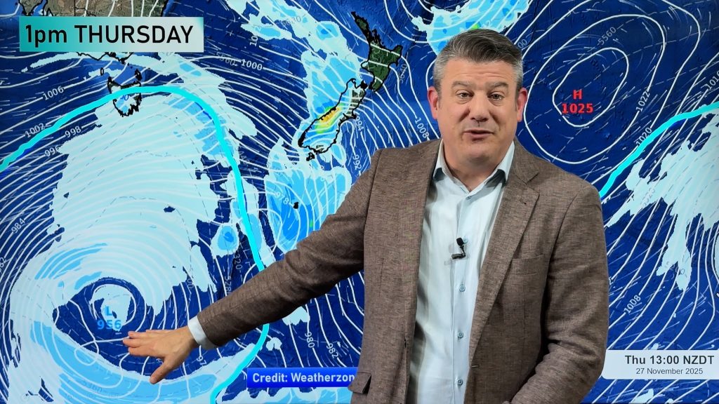
A big high to the west (in the Tasman) and a very deep low to the south of New Zealand created a big squash zone along the length of New Zealand. Tomorrow it will ease slowly but could still be quite windy.
Auckland had gale force winds at times today (winds averaring 62km/h) with gusts in exposed areas to 90km/h. The Manukau Heads saw gusts around this mark.
They are cumulus clouds – the winds push them so much they don’t grow into the usual shape we see. Base altitudes for these types of clouds usually range between 1200 ft and 6000ft.
The Met Office in the UK has a great page on clouds: http://www.metoffice.gov.uk/education/secondary/teachers/clouds.html
Cheers
Philip Duncan
Reply
Mandeno Moments on 11/03/2009 8:24am
Thanks for that link, it’s most informative and I’ve bookmarked it.
Jachin
Reply