> From the WeatherWatch archives
The daytime highs are going to be up and down this week as ‘typical’ spring weather kicks in according to the Weather Watch Centre’s head weather analyst Philip Duncan.
Warm northerlies over the South Island saw temperatures rise to 23 degrees around Dunedin and Central Otago yesterday and today looks set to be another warm one but could that all change later in the week?
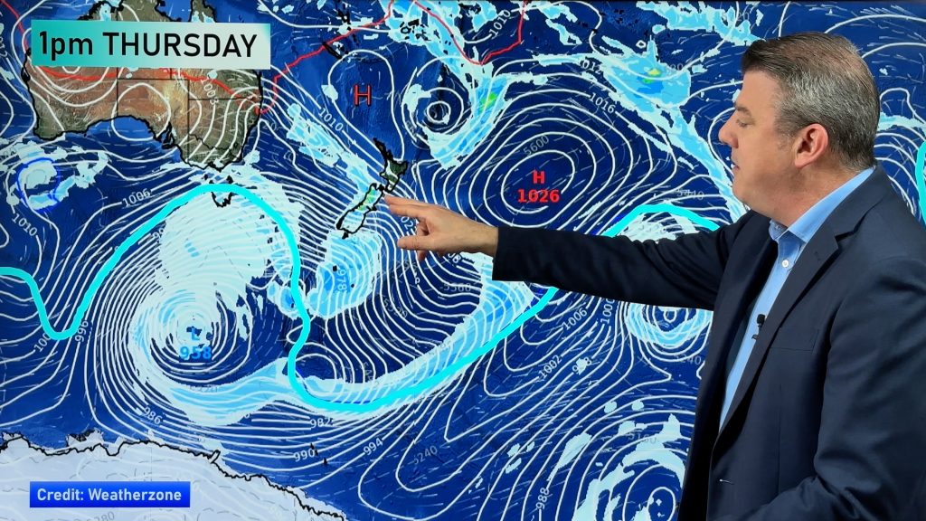
“This is a typical spring weather pattern. As deep lows in the Southern Ocean push up against high pressure systems over the North Island it creates strong northerlies or nor’westerlies over the South Island” says Duncan.
“Temperatures in the late teens or early 20s are again likely early this week but southerlies later in the week may well see those daytime highs almost halve”.
The North Island, under higher more settled air pressure, should see more stable temperatures mostly in the mid to upper teens. “Eastern areas will be the best places to be with Bay of Plenty, Gisborne and Hawkes Bay seeing mainly clear skies and temperatures up to 18 degrees”.
Duncan says westerlies will pick up later in the week meaning ideal drying conditions for many eastern areas after such a soggy winter.
For Auckland the week should start off mainly settled with just some clouds about but the prevailing westerly should pick up later in the week and it may drag in a few showers. “Nothing significant at this stage, just windy and showery with sunny spells in between…the lawns should start to really grow quickly now!”.
Mr Duncan says the weather patterns are moving faster now and we seem to have finally broken the ‘7 day rain cycle’ that ruined so many weekends over winter.
Have photos of the weekend’s weather where you are? Share them us – use the “Share Your Photos” link on the right hand side of this page.
Comments
Before you add a new comment, take note this story was published on 14 Sep 2008.


Add new comment