> From the WeatherWatch archives
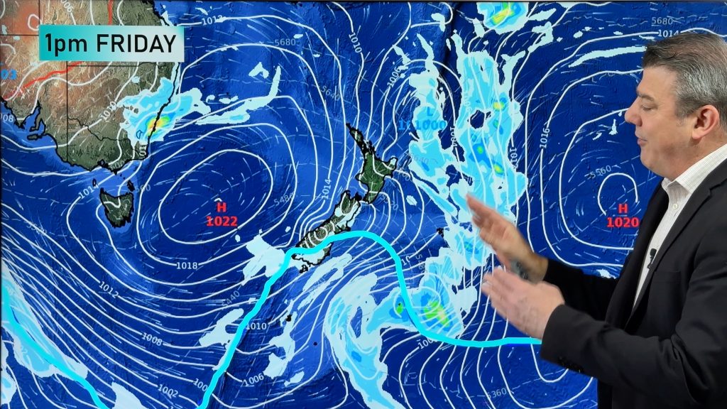
Sydney has had a warm start to July, but all that is about to change as a cold front sweeps through today.
On Thursday, the city climbed to 23 degrees and the airport 24 degrees, the warmest July day in four years. Richmond in the western suburbs also rose to 23 degrees, its equal warmest July day in four years.
There were also some impressive diurnal ranges (the difference between the maximum and minimum temperature) across the Basin. Bankstown dipped to just 2 degrees on Thursday morning, its coldest since last winter, before rising to a balmy 23 degrees during the day as a fresh and gusty northwesterly wind kicked in. Comparatively, this morning was quite mild across the Basin, with the city dipping to 15 degrees, its warmest July night in two years.
Over the first four days of July, the city has averaged tops of about 21 degrees during the day, its warmest start to the month in nine years. Today is expected to climb to 20 degrees, continuing the trend, although the cold front will move through during the afternoon adding a wind chill to the air and gradual cooling.
From tomorrow it will become noticeably cooler. The next five days are expected to rise no higher than about 17 degrees, much closer to the July average. Nights will become much colder, with the Sydney basin likely to see its coldest run of nights since last winter. It will be particularly cold in western suburbs, where frost will become a common sight over the next few mornings, while the city should dip to around seven degrees each morning.
– Weatherzone
From Thursday temperatures should begin to rise again as a warmer air mass pushes into the region, although it is unlikely to get as warm as it did yesterday.
– Weatherzone
Comments
Before you add a new comment, take note this story was published on 5 Jul 2013.


Add new comment