> From the WeatherWatch archives
Sydney’s prolonged run of pleasant weather during the last couple of weeks was also the city’s warmest fortnight this late in the season on record, based on consecutive maximum temperatures.
Sydney is forecast to register its 14th consecutive day in the mid-to-high twenties on Friday, with the city forecast to reach a top of 28 degrees.

While maximums have only been several degrees above April’s average maximum temperature of 22.5 degrees during the last two weeks, it’s unusual to have such a long spell of days this warm, this late in the month.
Maximum temperatures have ranged from 23.9 degrees to 27 degrees during the last 13 days and today, Friday, is forecast to reach 28 degrees in the city.
This will be Sydney’s longest spell of days this warm, this late in the season, in more than 160 years of records.
Prior to 2019, the latest 14-day spell in which every day reached at least 23.9 degrees was in 1956, between April 4th and 17th.
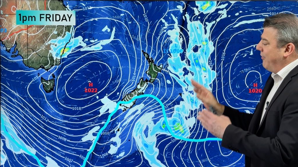
The city’s record run of warm weather will come to an end tomorrow as cooler southwesterly winds flow across the Sydney Basin, in the wake of a cold front.
Saturday’s forecast top of 19 degrees will be Sydney’s first day below 20 degrees so far this year. Sunday morning’s low of 10 degrees will also be a first for 2019, forcing an overdue reshuffle of wardrobes across the city.

– By Ben Domensino, Weatherzone.com.au
Comments
Before you add a new comment, take note this story was published on 26 Apr 2019.


Add new comment