> From the WeatherWatch archives
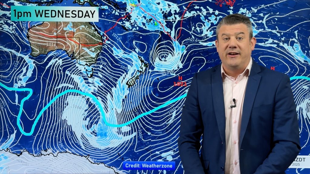
A high drifting in from the Tasman Sea is bringing a clearance to our weather, especially inland and eastern areas.
According to the latest satellite images the cloudiest weather remains about Southland and western areas.
However as Thursday rolls in those clouds should break up further with dry weather expected nationwide.
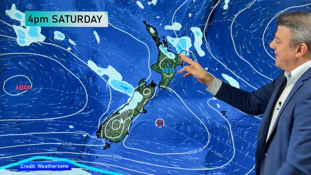
Dry weather should also remain into Friday for most too, with rain or showers only affecting the south west corner of the South Island.
As we head into Wednesday afternoon here were the main extremes as of 12noon:
- Warmest main centre – Whangarei, 14 degrees
- Coldest main centre – Queenstown, 4 degrees
- Windiest main centre – Auckland, winds averaging 33km/h gusting 50
Comments
Before you add a new comment, take note this story was published on 28 Jul 2010.


Add new comment