> From the WeatherWatch archives
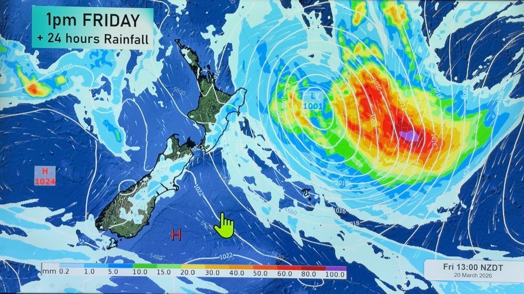
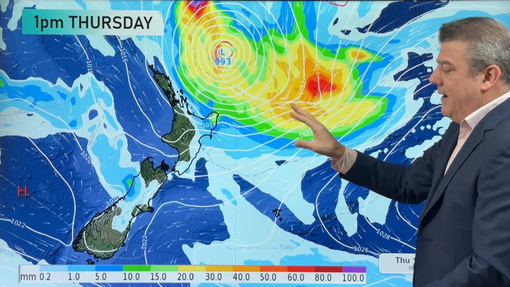
A large low pressure system lies over the upper North Island but is fairly weak with the rain clouds very patchy and broken up and large areas of dry or drizzly conditions. Some localised heavy falls are expected here and there, mostly the east to north east of the country.
Winds are mainly from the NE although with the low engulfing a large portion of the country we may have a westerly change in Northland and an easterly in Southland.
NORTH ISLAND:
Areas of showers and patchy rain. An isolated heavy fall, mainly in the east. Plenty of long dry or drizzle spells around the island. Winds generally from the north east but are southerly in Wellington and may turn Nor’West in Northland. The centre of the low spreads over Northland, Auckland, Waikato, Waitomo and Taranaki today.
Highs: 17 to 21
SOUTH ISLAND:
Rain with some localised heavy falls in the east or north east spread down across the island but becoming lighter and patchier. Mainly dry in Southland but late rain or showers possible after dark. Becoming mostly dry on the West Coast. NE winds for most but perhaps more E to SE for some in the south.
Highs: 8 to 17 (Warmest on the West Coast and Nelson)
Comments
Before you add a new comment, take note this story was published on 28 Apr 2018.


Add new comment