> From the WeatherWatch archives
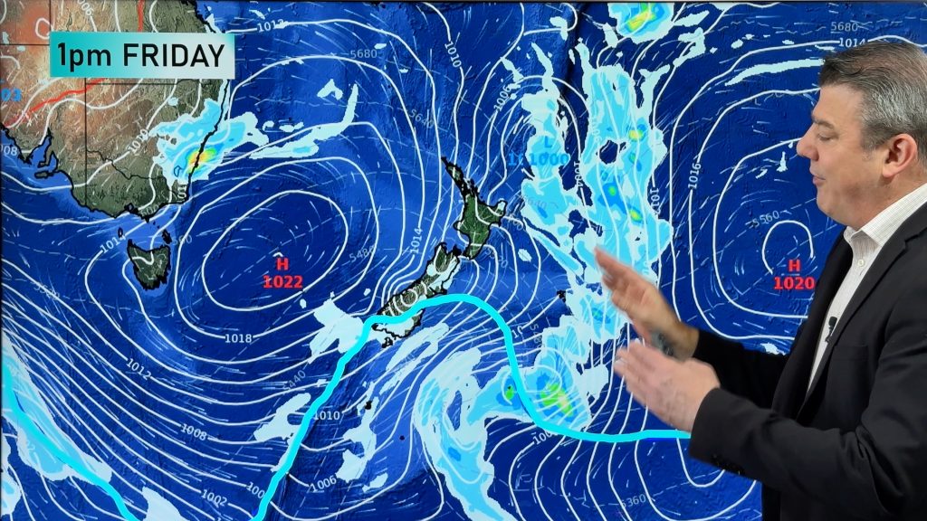
Last week it was New Zealand’s turn – this week the severe storms in the Southern Ocean will brush Western and southern Australian.
A series of cold fronts will continue to send showery westerly winds over the southern half of WA for much of this week.
More than 5mm is expected between Jurien Bay and Bremer Bay (the south western corner of Australia) over the next four days, with areas between Perth and Albany expected to receive between 25 and 50mm.
The Southwest Land Division has had below average rainfall so far this year, so the coming rainfall may be good news for water storage levels. Perth’s storage levels increased less than 1% in the last month to a total of 19%, compared to 29% at the same time last year.
A high moving in on Wednesday will provide some brief respite, with skies clearing for a day or two before the next wave of cold fronts arrive.
WeatherWatch.co.nz says unlike New Zealand last week the worst of the weather will remain south of Australia this week but huge seas are expected with gales brushing the southern coastline at times.
– Weatherzone and WeatherWatch.co.nz
Comments
Before you add a new comment, take note this story was published on 31 Jul 2011.


Add new comment