> From the WeatherWatch archives
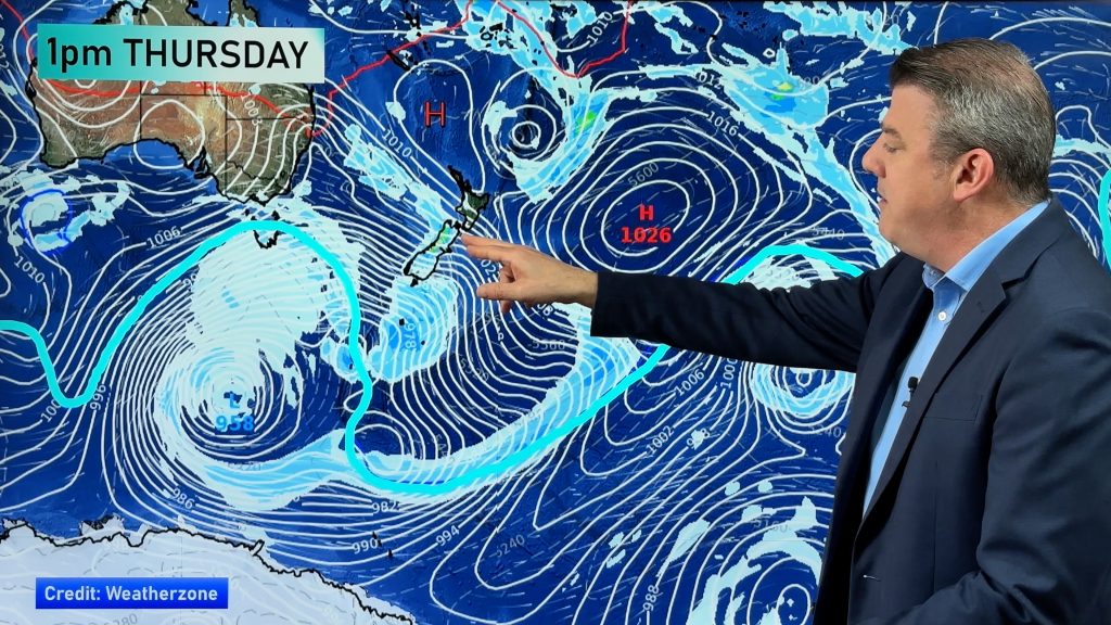
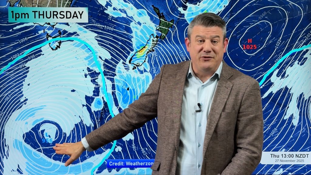
We’ve been talking about it since last week and today a sluggish but nasty low pressure system will move over the country.
Yesterday winds picked up significantly ahead of the low, caused also by a strengthening high out to the east.
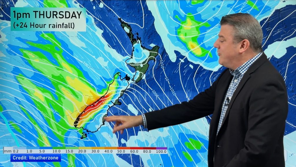
During Sunday afternoon patchy rain started to set in across northern and western regions and today it’s going to heavier and the winds stronger.
Head weather analyst Philip Duncan says the rain will get heavier in places like Northland and Taranaki first, then spread into Auckland, Waikato, Bay of Plenty and other northern and western facing regions. “The worst of the rain will be later today and overnight tonight with heavy rain lingering into Tuesday in places further east from the Tasman Sea, such as the Bay of Plenty and Central Plateau”.
Mr Duncan says gales are possible today in exposed places as the centre of the low moves closer which will help again drive up summer-like temperatures in the east.
We’ll have regular updates during today so check back frequently.
What are conditions like where you are? Post them in our Comments section at the bottom of this story.
Comments
Before you add a new comment, take note this story was published on 23 Nov 2008.


Add new comment