> From the WeatherWatch archives
20 Rain Warnings issued…
STORY HIGHLIGHTS
Up to 2000km stretch of thunderstorms
Risk for Tornadoes
High risk for flash & surface flooding
Snow in the south

Blue highlights thunderstorms. Image courtesy Washington University (c)
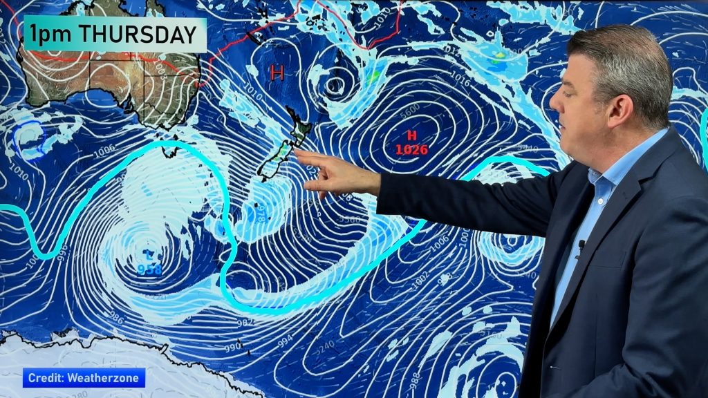
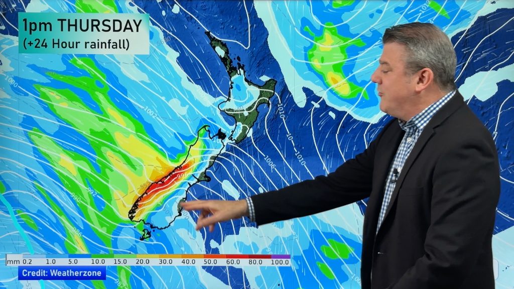
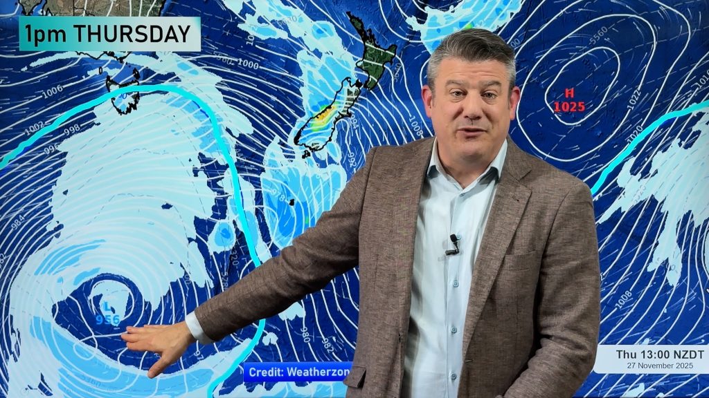
Our biggest Autumn storm so far this year is continuing to build strength in the southern Tasman Sea with the first rain band expected to make landfall across the nation’s west coast during Tuesday. The Radio Network’s head weather analyst Philip Duncan says the storm will affect all regions across New Zealand. “Heavy rain will start over the South Island’s west coast Tuesday morning, spreading into the North Island during the afternoon and evening. Rainfalls may be torrential in some areas with thunderstorms likely, creating localised flash or surface flooding”.
Duncan says a huge band of thunderstorms in the Tasman Sea stretches between 1100 and 2000 kilometres – the length of New Zealand. “While they are often much bigger out at sea, it does show that this storm is packed with energy”.
According to MetService the thunderstorms may also lead to small tornadoes across the South Island’s west coast but Duncan believes there’s a risk for tornadoes in western areas of the North Island. “Places like Taranaki, Waitomo and western Waikato are also exposed to dangerous weather like this”.
“This is a weather event that all New Zealanders should pay close attention to. Take heed of the warnings and keep up to date with the latest thunderstorm warnings” says Duncan. At 9:45pm Monday night a total of 20 Severe Weather Warnings had been issued by NZ’s govt forecaster MetService. All warnings can be found in the “weather” section at www.newstalkzb.co.nz
The heavy rain is expected to dump between 50mm and 80mm of rain across Waikato according to The Radio Network’s independent Weather Watch Centre, supporting Duncan’s theory that their winter could be a very wet one this year thanks to La Nina. “We could be going from droughts to floods. Farmers need to be prepared for possibly a very wet winter. You can put it down to Global Warming or simply bad luck – but either way our seasons seem to be more extreme at the moment”.
Meanwhile eastern areas of both islands won’t escape the blast. “It’s been a stunning day for many in the South Island on Monday with our South Island weather analyst, Richard Green, recording a temperature of 28 degrees at his Radio Network office in downtown Christchurch Monday afternoon – quite possibly a record breaker for this time of year”. But he says the warm weather has only another 12 to 24 hours to go before the first big cold snap of 2008 moves up the country. “The low will be anchored off the sou’east coast of the South Island and will likely deepen further on Thursday creating giant swells at sea and a biting southerly that will bring snow to low lying areas and highs only in the single digits”.
Comments
Before you add a new comment, take note this story was published on 27 Apr 2008.


Add new comment