> From the WeatherWatch archives

Heavy snow in Western Otago. Photos taken this morning by Margaret Campbell.
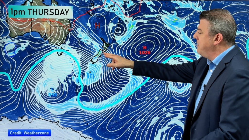
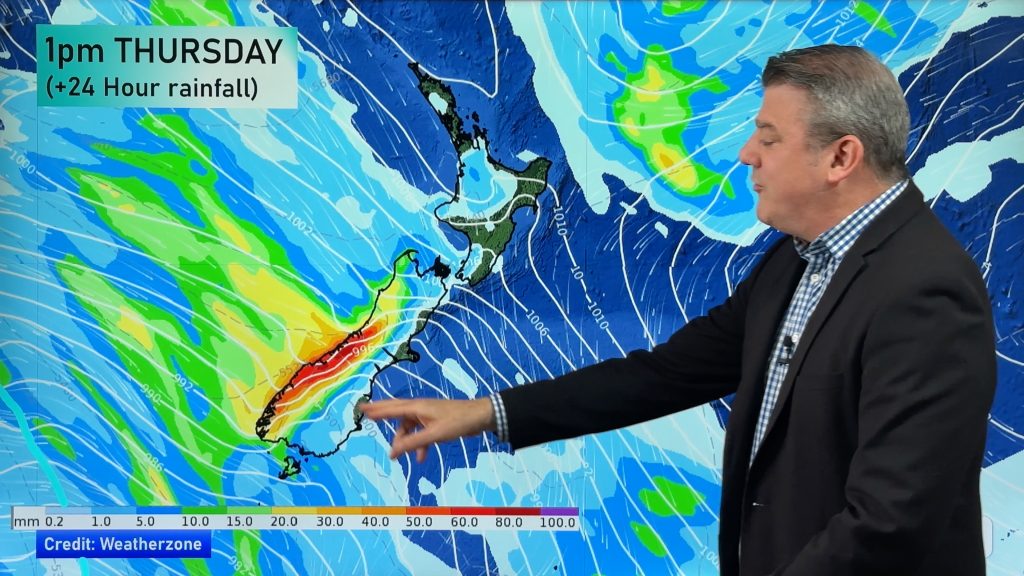
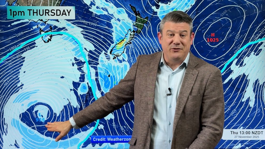
The spring storm that brought November snow to sea level in Southland for the first time in 30 years is now starting to ease as it moves out into the Pacific.
The air is still bitterly cold across the South Island with many centres in the far south starting on zero to minus 2 earlier today.
As of 10am most places in Southland and Otago were still single digits along with a cold wind.
 Winds are no longer gale force anywhere across the country but gusty conditions are still affecting much of the North Island.
Earlier we had reports of hail moving across Kapiti.
Photo: Looking toward Kaiwera from Tapanui.
Tomorrow a high will spread on to the South Island and push northwards so most regions should notice the winds easing right back and dying out.
Conditions for Election Day are looking good with settled and mainly sunny weather right across New Zealand. Conditions may be a little cold first thing but should warm up as the day progresses.
We’ll have extensive weather coverage for Election Day starting tonight.
Comments
Before you add a new comment, take note this story was published on 5 Nov 2008.


Add new comment