> From the WeatherWatch archives
Just a quick update on the progress of our late spring storm.
**Please note that the Auckland Rain Radar is not operating at the moment. We’ve published the most recent image in the Comments section below this story**
Situation:
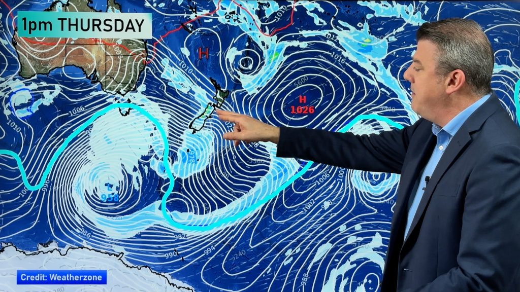
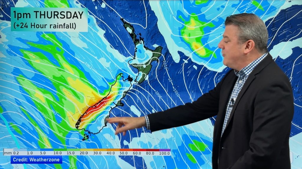
The main frontal band is now draped over northern and western New Zealand and the entire west coast of the South Island. The heaviest rain is falling at the top of both islands.
Heavy rain is now moving into the Tararua Ranges, Coromandel Peninsula and King Country. Spillover from heavy rain near Fiordland is affecting Queenstown – which farmers through Central Otago will be grateful for however it’s not spreading too much further east.
LATEST EXTREMES – 9pm
WINDIEST
Whangaparaoa – Winds near gale force, sustained at 57km/h
TOP 5 WETTEST MAIN CENTRES
Blenheim, then Kaikohe, Whitianga, Lower Hutt, then Hamilton & Auckland.
WARMEST
24 Timaru, 23 Ohakea, 22 Wanganui
Comments
Before you add a new comment, take note this story was published on 24 Nov 2008.


Add new comment
Grant on 10/07/2009 8:31pm
8.30am – Light rain falling however still no significant wind at all here
Reply
Peter M on 24/11/2008 7:30pm
Hi Phil
Inner Pelorus Sound – Marlborough
In the last 24 hours we have had 159mm of rain. Sun starting to break through now (9am Tuesday) but the odd heavy shower still possible over the next few hours.
Cheers Peter – Mahau Sound
Reply
Guest on 24/11/2008 7:46am
Its bloooooody windy here!!!!!!!!!!!!!!!!!!!!!
Reply
Andrew on 24/11/2008 7:20am
We are in a brief break after light rain and 18mm rain. Checked Rain Radar at Metsevice and heavy rain still moving in! 1007hpa and 17.8C at 8.15pm and at 7pm 14mm in 24 Hours and 4mm since i cleared it! 85% Humidity! Is there still thunder storms still coming like ONE News said? Andrew
Reply
WW Forecast Team on 24/11/2008 8:02am
I’m always a bit skeptical of thundertorms for Auckland – they have a habit of fading out just before they get here! I think there is the chance of a rumble but I would rate the chances as "low". Certainly not much to talk about on the Lightning Detector as of 9pm.
The Rain Radar we can access (updated every 7mins) shows another band of rain moving in but definitely a clearance appearing behind that, probably around midnight, maybe a little later, for Auckland.
Cheers
Philip Duncan
Reply
Andrew on 24/11/2008 8:22am
Just checked Radar at Metsevice again at 9.20pm and noticed nothing around Auckland and maybe that may be it for us! Hope that rain band you mentioned happens…. Andrew
Reply
WW Forecast Team on 24/11/2008 8:58am
No there’s still rain to come – the Auckland rain radar has gone out. The irony is that the weather is usually what knocks it out!!
There’s definitely a band of heavy rain still moving down from Northland, currently around the Kaikohe/Whangarei area…and moving into Auckland before midnight. The radar went out just before 9pm and gives the impression that there’s no rain north of Auckland but I can assure you there is!
Phil.
Reply
WW Forecast Team on 24/11/2008 9:01am
Normally we aren’t allowed to display these images (as I said we get them every 7mins but they are for internal use only) but I’m sure in this circumstance MetService won’t mind. This was the last image we got at 8:51pm before the radar went out.
Philip Duncan
Reply
Andrew on 24/11/2008 9:24am
Thanks heaps and its funny that out of the major city’s rain radar’s its only Auckland’s that seems to go down… May need real fixing as other radar’s seem to stay working in worse weather than we are currently getting lol… so thanks for your image!
Andrew
Oh so far the rain we have had wouldn’t fill a bird bath ha!
Reply