> From the WeatherWatch archives
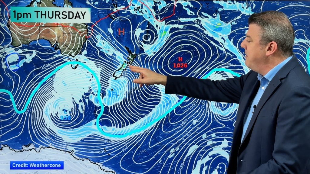
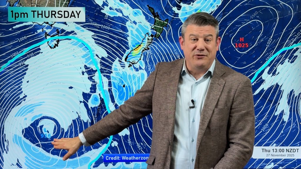
Northern and western areas of New Zealand could be in for a drenching over the weekend or on Monday as a spring storm develops out in the Tasman Sea.
“Much of the Tasman Sea will be engulfed by a large area of low pressure by the weekend. Definitely not a weekend to be sailing in the Tasman” says head weather analyst Philip Duncan.
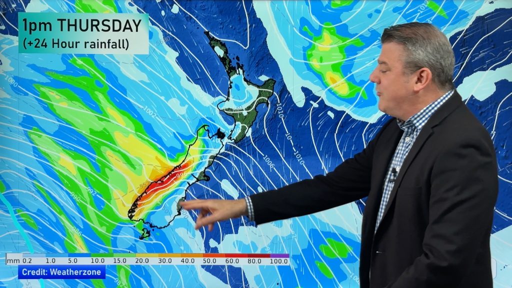
The way the air pressure is forecast to align shows a strong north to north west flow over the country this weekend which will spark big temperatures in the east from Gisborne to Otago and deliver heavy rain, especially to the South Island’s west coast, but also to places like Mt Taranaki and the hills of Waitomo in the north.
“Our forecasts are definitely showing plenty of rain or showers for northern New Zealand, such as Northland, Auckland, Coromandel Peninsula, Bay of Plenty and Waikato either on Sunday but most likely Monday, however the bulk of the heavy rain will be in the weekend along the West Coast” says Philip Duncan. “It’s too early to say if the rain will move over into eastern areas where farms are starting to dry out but the angle that this system is coming in from doesn’t really favour much rainfall in the east”.
Mr Duncan says eastern areas will be hot and windy across the weekend. “Highs will reach into the late 20s along the east coast. It’s going to be another summer weekend for the east”.
Northern New Zealand should be humid with temperatures in the low to mid 20s this weekend. Overnight lows may also be quite high, unlikely to dip below 16 or 17 on Sunday night as humid and gusty nor’easterlies develop.
Comments
Before you add a new comment, take note this story was published on 20 Nov 2008.


Add new comment
Andrew on 20/11/2008 5:05am
Can you let us know how this low will affect us in the North Shore in Auckland as we always get left out of the warnings but seem to beat some of the warning totals in rain and wind that gets covered in other areas…
Thanks again
Andrew
Reply
WW Forecast Team on 20/11/2008 7:30am
Hi Andrew,
I don’t think this low will have a major impact on the North Shore at this stage. Definitely check back during Saturday as we’ll have a much clearer understanding then. I think the shore may get some strong north easterly gusts…rain isn’t usually too heavy in Auckland with systems like this…I think it just may be a bit too far south. Chances of rainfall on Sunday are around 60 to 70% which indicates – at this stage – that it’s not going to be too major. But systems like this do change frequently, so check back.
Cheers
Philip Duncan
Reply
SW on 20/11/2008 1:48am
Its terrible how the high moves so quickly east only just arriving still today (after sitting in the tasman all this week) because the southwest wind is still breezy,looks as if us in auckland wont get much from this though fortunately it will be much more pleasant with N-NE winds and more humidity.
Reply